Street Names · 20th Century
Auf der Redoute

Description
This description is only available in German.
Translate with Google opens this page in Google Translate (external service)
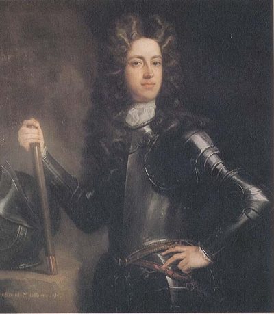
Redoute = viereckige Schanze, entlehnt aus dem französischen réduit = lat. Reductus = Zufluchtsort. Diese Schanze wurde im Spanischen Erbfolgekrieg 1704 angelegt. Eine Karte von 1748 spricht von Des Generals Marlborough Reduten. Früher: Triererstraße. [1]
Classification
- Subject area
- History
- Category
- Place Names / Local History
- Object type
- Street Names
- Date
- 1969 [Benennung]
- Period
- 20th Century
Location
- District
- City of Trier
- Collective municipality
- Verbandsfreie Gemeinde Trier
- Town
- Trier
- Locality / location
- Kernscheid
- Street
- Auf der Redoute
- Field name
- Ortslage
- Coordinates
- WGS 84: 49.726062, 6.686135 (Position: exact) WGS 84: 49° 43′ 33.8″ N, 6° 41′ 10.1″ E UTM 32 (ETRS89): E 333239 · N 5510744
Sources
Data sources
- [1] Die Straßennamen in Trier. Nach Vorarbeiten von Emil Zenz, hg. vom Kulturbüro der Stadt Trier, 2003.
On the internet
de.wikipedia.org/wiki/Trier-Kernscheid
Picture credits
- Picture 1: http://www.kipar.org/kirkes_spanish_succession.html
Last edited: 7 Oct 2003 Object ID: 6469
https://kulturdb.de/en/objekt/6469-trier-auf-der-redoute
Nearby
The nearest objects
 less than 10 m
Entrenchments
Schanze Auf der Redoute
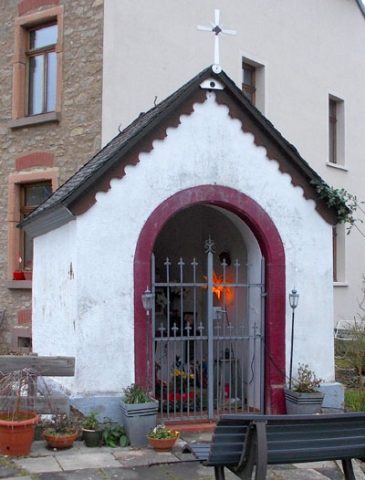 170 m
Chapels
Kapelle
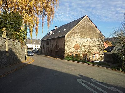 220 m
Farmhouses and Farm Buildings
Quereinhaus
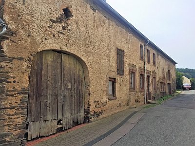 230 m
Farmhouses and Farm Buildings
Quereinhaus
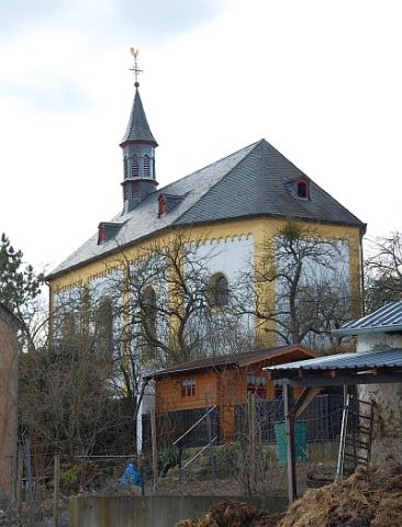 230 m
Catholic Churches
Sankt Katharina und Barbara
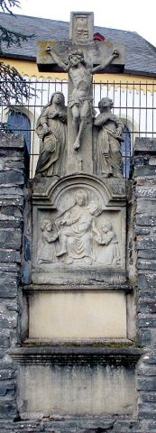 260 m
Wayside Shrines and Stations of the Cross
Kreuzigungsbildstock Kirchhof
 260 m
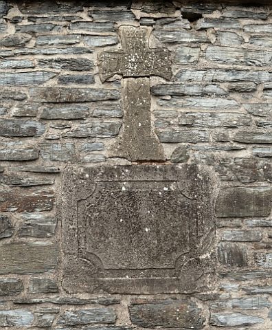
Wayside Shrines and Stations of the Cross
Ehemaliges Grabkreuz
Jewish History