Street Names · Undated
Mustorstraße


© GeoBasis-DE / LVermGeoRP, dl-de/by-2-0
There is no picture of this object yet. Do you have a photo that you would like to make available to the Kulturdatenbank? Submit a picture
Description
This description is only available in German.
Translate with Google opens this page in Google Translate (external service)
Benannt nach dem vor dem Mustor, am Fuße des Petrisberges gelegenen fränkischen Dorfe Musil, das seinen Namen wohl von ahd. mos = Sumpf herleitet. 1251 als porta Muselun" bezeugt; 1360 bei der Musilpforte", 1467 zu Castel by moselporten". [1]
Classification
- Subject area
- History
- Category
- Place Names / Local History
- Object type
- Street Names
- Date
- Undatiert
- Period
- Undated
Location
- District
- City of Trier
- Collective municipality
- Verbandsfreie Gemeinde Trier
- Town
- Trier
- Locality / location
- Mitte-Gartenfeld
- Street
- Mustorstraße
- Field name
- Ortslage
- Coordinates
- WGS 84: 49.753926, 6.645368 (Position: exact) WGS 84: 49° 45′ 14.1″ N, 6° 38′ 43.3″ E UTM 32 (ETRS89): E 330399 · N 5513932
Sources
Data sources
- [1] Die Straßennamen in Trier. Nach Vorarbeiten von Emil Zenz, hg. vom Kulturbüro der Stadt Trier, 2003.
On the internet
Last edited: 7 Oct 2003 Object ID: 6624
https://kulturdb.de/en/objekt/6624-trier-mustorstrasse
Nearby
The nearest objects
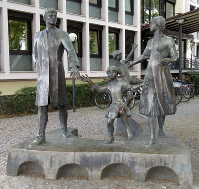 30 m
Works of Art
Die Familie
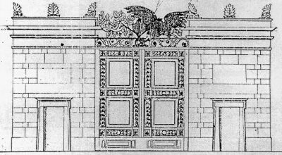 50 m
Town Fortifications
Ehemaliges Mustor - 1. Entwurf
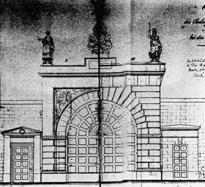 50 m
Town Fortifications
Ehemaliges Mustor - 2. Entwurf
 50 m
Town Houses and Commercial Buildings
Große Eulenpfütz 3a
 60 m
Monuments
Gedenktafel für Lorenz Kellner
 70 m
Town Fortifications
Ehem. Turm der mittelalterl. Stadtmauer - Nr. 16
 70 m
Town Houses and Commercial Buildings
Haus Zur Eule
Street Names