Street Names · 20th Century
Mattener Straße


© GeoBasis-DE / LVermGeoRP, dl-de/by-2-0
There is no picture of this object yet. Do you have a photo that you would like to make available to the Kulturdatenbank? Submit a picture
Description
This description is only available in German.
Translate with Google opens this page in Google Translate (external service)
Benannt nach einer Häusergruppe, die früher in der Nähe von Tarforst lag und im 17. Jahrhundert unterging. Bis zu dieser Zeit befanden sich Kapelle und Friedhof für Tarforst in Matten. Der Name gehört wahrscheinlich zu vl. Matta = Baumgruppe, Gebüsch. Früher: Am Flürchen. [1]
Classification
- Subject area
- History
- Category
- Place Names / Local History
- Object type
- Street Names
- Date
- 1969 [Benennung]
- Period
- 20th Century
Location
- District
- City of Trier
- Collective municipality
- Verbandsfreie Gemeinde Trier
- Town
- Trier
- Locality / location
- Tarforst
- Street
- Mattener Straße
- Field name
- Ortslage
- Coordinates
- WGS 84: 49.739640, 6.699381 (Position: exact) WGS 84: 49° 44′ 22.7″ N, 6° 41′ 57.8″ E UTM 32 (ETRS89): E 334240 · N 5512224
Sources
Data sources
- [1] Die Straßennamen in Trier. Nach Vorarbeiten von Emil Zenz, hg. vom Kulturbüro der Stadt Trier, 2003.
On the internet
Last edited: 7 Oct 2003 Object ID: 6692
https://kulturdb.de/en/objekt/6692-trier-mattener-strasse
Nearby
The nearest objects
Field Names
Im Spieß
 270 m
Wayside Shrines and Stations of the Cross
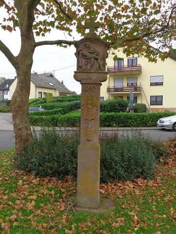
Bildstock mit wappengeziertem Schaft
Street Names
Georg-Christoph-Neller-Straße
 390 m
Street Names
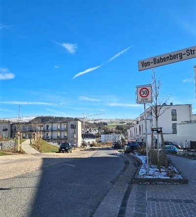
Von-Babenberg-Straße
Field Names
Unterm Nonnenbungert
 480 m
Farmhouses and Farm Buildings
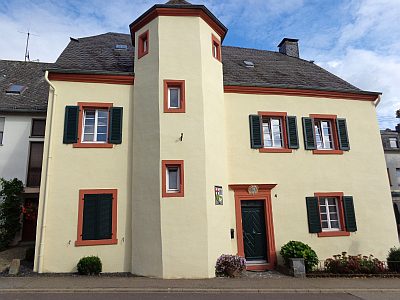
Ehemaliger Maximiner Zehnt- und Gerichtshof
 500 m
Works of Art
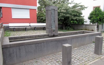
Andreasbrunnen
 520 m
Wayside Shrines and Stations of the Cross