Street Names · Undated
Münzstraße


Description
This description is only available in German.
Translate with Google opens this page in Google Translate (external service)
Classification
- Subject area
- History
- Category
- Place Names / Local History
- Object type
- Street Names
- Date
- Undatiert
- Period
- Undated
Location
- District
- City of Trier
- Collective municipality
- Verbandsfreie Gemeinde Trier
- Town
- Trier
- Locality / location
- Pfalzel
- Street
- Münzstraße
- Field name
- Ortslage
- Coordinates
- WGS 84: 49.781332, 6.693317 (Position: exact) WGS 84: 49° 46′ 52.8″ N, 6° 41′ 35.9″ E UTM 32 (ETRS89): E 333946 · N 5516872
Sources
Data sources
- [1] Die Straßennamen in Trier. Nach Vorarbeiten von Emil Zenz, hg. vom Kulturbüro der Stadt Trier, 2003.
- [2] Michael Grün, Trier, 2024.
On the internet
Picture credits
Last edited: 17 Jan 2024 Object ID: 6694
https://kulturdb.de/en/objekt/6694-trier-muenzstrasse
Nearby
The nearest objects
 20 m
Courthouses
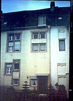
Ehemaliges Gerichtshaus und Münzstätte
 30 m
Lime Trees
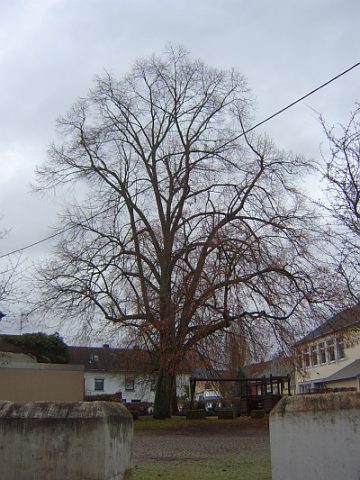
Linde
No picture
50 m
Mills
Stiftsmühle - Ehemalige Wehranlage des Mühldeíches
 50 m
Town Fortifications
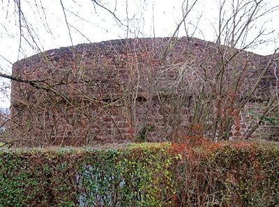
Bastion 5
 60 m
Town Halls
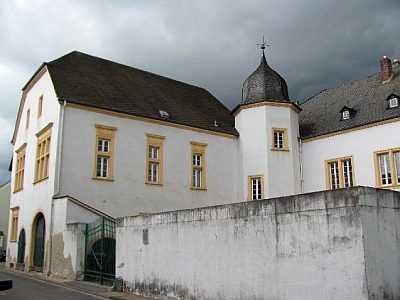
Ehemaliges kurtrierisches Amtshaus
 60 m
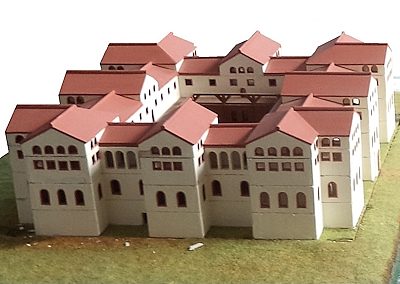
Town Models
Modell Palatiolum
 80 m
Town Houses and Commercial Buildings
Wohnhaus
No picture
80 m
Farmhouses and Farm Buildings