Place Names / Local History · Gothic
Oberkirch


© GeoBasis-DE / LVermGeoRP, dl-de/by-2-0
There is no picture of this object yet. Do you have a photo that you would like to make available to the Kulturdatenbank? Submit a picture
Description
This description is only available in German.
Translate with Google opens this page in Google Translate (external service)
Um 1190 als Cherriche" = Kirche nachgewiesen. Seit dem 14. Jahrhundert gibt es das heutige Oberkirch, das später abgerissen wurde, um dem Schloss Monaise Platz zu machen. [1]
Classification
- Subject area
- History
- Category
- Place Names / Local History
- Date
- 1190
- Period
- Gothic
Location
- District
- City of Trier
- Collective municipality
- Verbandsfreie Gemeinde Trier
- Town
- Trier
- Locality / location
- Zewen
- Field name
- Ortslage
- Coordinates
- WGS 84: 49.714032, 6.586560 (Position: within the village) WGS 84: 49° 42′ 50.5″ N, 6° 35′ 11.6″ E UTM 32 (ETRS89): E 326020 · N 5509632
Sources
Data sources
- [1] Die Straßennamen in Trier. Nach Vorarbeiten von Emil Zenz, hg. vom Kulturbüro der Stadt Trier, 2003.
On the internet
Last edited: 7 Oct 2003 Object ID: 6696
https://kulturdb.de/en/objekt/6696-trier-oberkirch
Nearby
The nearest objects
 30 m
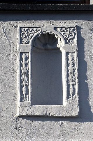
Town Houses and Commercial Buildings
Wandnische
 70 m
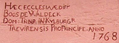
Inscriptions
Sankt Michael - Inschrift über Westportal
 80 m
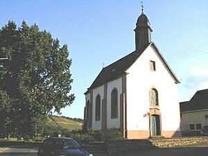
Catholic Churches
Sankt Michael
 90 m
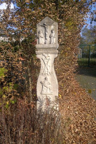
Wayside Shrines and Stations of the Cross
Biesterkreuz
 120 m
Settlements
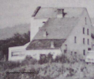
Oberkircher Wasserzollturm
Street Names
Im Biest
Fortresses and Bunkers
Westwall - Maschinengewehr-Schartenstand
Field Names