Street Names · Undated
Petrisberg - Ehemaliger Gutshof

Description
This description is only available in German.
Translate with Google opens this page in Google Translate (external service)
Benannt nach dem 1822 von dem Hospitieneinnehmer Petri hier erbauten Gutshof. Früher: Martinsberg". [1]
Classification
- Subject area
- History
- Category
- Place Names / Local History
- Object type
- Street Names
- Date
- Undatiert
- Period
- Undated
Location
- District
- City of Trier
- Collective municipality
- Verbandsfreie Gemeinde Trier
- Town
- Trier
- Locality / location
- Mitte-Gartenfeld
- Street
- Petrisberg
- Field name
- Hinter Franzenknöpfchen
- Coordinates
- WGS 84: 49.753166, 6.659068 (Position: exact) WGS 84: 49° 45′ 11.4″ N, 6° 39′ 32.6″ E UTM 32 (ETRS89): E 331383 · N 5513817
Sources
Data sources
- [1] Die Straßennamen in Trier. Nach Vorarbeiten von Emil Zenz, hg. vom Kulturbüro der Stadt Trier, 2003.
On the internet
Picture credits
- Picture 1: Homepage der Landesgartenschau http://www.landesgartenschau-trier.de/
Last edited: 7 Oct 2003 Object ID: 6717
https://kulturdb.de/en/objekt/6717-trier-petrisberg-ehemaliger-gutshof
Nearby
The nearest objects
 60 m
Street Names
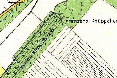
Ehemalige Hermann-Göring-Schneise
 90 m
Wayside Shrines and Stations of the Cross
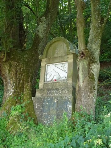
Stationsweg Zum Kreuzchen - 9. Station
Catholic Churches
Ehemaliges Martinskirche auf dem Petrisberg
 100 m
Wayside Shrines and Stations of the Cross
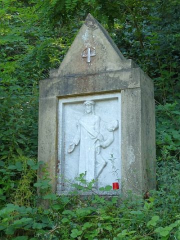
Stationsweg Zum Kreuzchen - 10. Station
 100 m
Wayside Shrines and Stations of the Cross
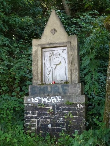
Stationsweg Zum Kreuzchen - 8. Station
 100 m
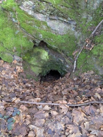
Caves
Schieferhöhle am Kreuzweg zum Petrisberg
 120 m
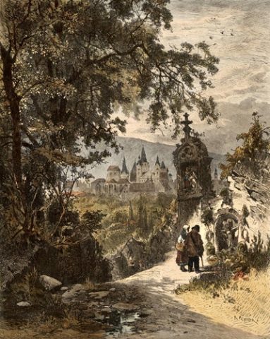
Wayside Shrines and Stations of the Cross
Stationsweg Zum Kreuzchen - Blick auf Trier
 130 m
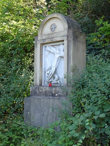
Wayside Shrines and Stations of the Cross