War Cemeteries · 20th Century
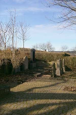
Ehrenfriedhof

Description
This description is only available in German.
Translate with Google opens this page in Google Translate (external service)
Lage: Am unteren Ende (Richtung Bahnanlagen) des alten Friedhofs bei der Pfarrkirche.
Auf dem Friedhof ruhen keine Soldaten, sondern die zivilen Opfer der alliierten Luftangriffe 1944 auf Konz.
Classification
- Subject area
- Natural Features
- Category
- Parks, Gardens and Cemeteries
- Object type
- War Cemeteries
- Date
- Nach 1918
- Period
- 20th Century
Location
- District
- Trier-Saarburg
- Town
- Konz
- Street
- Martinstraße
- Field name
- Ortslage
- Coordinates
- WGS 84: 49.694133, 6.572571 (Position: exact) WGS 84: 49° 41′ 38.9″ N, 6° 34′ 21.3″ E UTM 32 (ETRS89): E 324941 · N 5507453
Sources
Data sources
- Helge Rieder, Konz, 2003
On the internet
Picture credits
- Picture 1: © Helge Rieder, Konz, 2003
Last edited: 7 Oct 2003 Object ID: 6800
https://kulturdb.de/en/objekt/6800-konz-ehrenfriedhof
Nearby
The nearest objects
 70 m
Jewish Cemeteries
Jüdischer Friedhof
 140 m
Railways
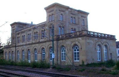
Bahnhof Konz
Mills
Ehemalige Ölmühle am Berendsgraben
Mills
Ehemalige Oberste Mühle am Maiersbach
 160 m
Settlements
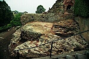
Spätrömische Villa
 170 m
Markers and Monuments
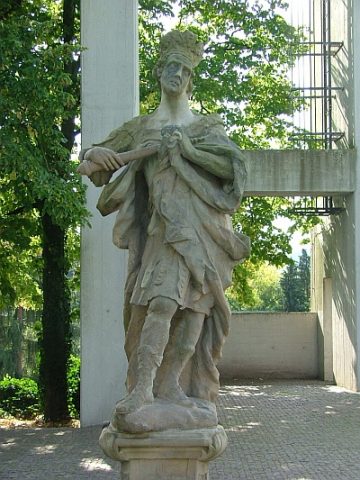
Statue Kaiser Konstantins
Fortresses and Bunkers
Westwall - Maschinengewehr-Schartenstand
Fortresses and Bunkers