Coats of Arms · Undated
Wappen der Gemeinde Bleialf

Classification
- Subject area
- History
- Category
- Coats of Arms
- Date
- Undatiert
- Period
- Undated
Location
- District
- Eifelkreis Bitburg-Prüm
- Collective municipality
- Prüm
- Municipality
- Bleialf
- Field name
- Ortslage
- Coordinates
- WGS 84: 50.239344, 6.287461 (Position: within the village) WGS 84: 50° 14′ 21.6″ N, 6° 17′ 14.9″ E UTM 32 (ETRS89): E 306580 · N 5568763
Sources
Data sources
- Homepage der Prümer Land http://www.pruem.de/Ortsgemeinden/Bleialf/bleialf.html
On the internet
pruem.de/Ortsgemeinden/Bleialf/bleialf.html
Picture credits
- Picture 1: http://www.pruem.de/Ortsgemeinden/Bleialf/bleialf.html
Last edited: 7 Oct 2003 Object ID: 6849
https://kulturdb.de/en/objekt/6849-bleialf-wappen-der-gemeinde-bleialf
Nearby
The nearest objects
No picture
less than 10 m
Place Names / Local History
Erste Erwähnung als Alva
No picture
40 m
Wayside Shrines and Stations of the Cross
Maria Himmelfahrt - Schaftkreuz
 40 m
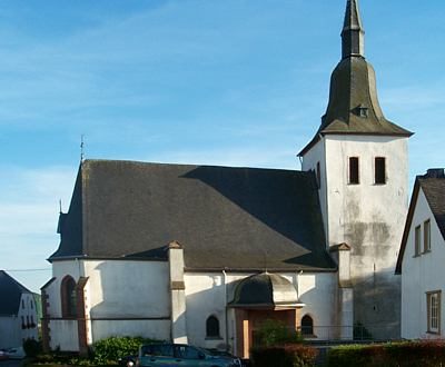
Catholic Churches
Maria Himmelfahrt - Neue Kirche
 50 m
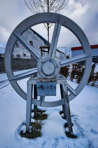
Extraction and Processing of Raw Materials
Historische Seilscheibe
 50 m
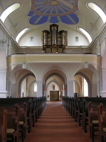
Organs
Mariä Himmelfahrt - Orgel
No picture
50 m
Rectories
Pfarrhaus
 60 m
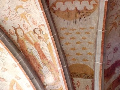
Catholic Churches
Maria Himmelfahrt - Alte Kirche - Fresken
60 m
Catholic Churches