Coats of Arms · Undated
Wappen der Gemeinde Rommersheim

Classification
- Subject area
- History
- Category
- Coats of Arms
- Date
- Undatiert
- Period
- Undated
Location
- District
- Eifelkreis Bitburg-Prüm
- Collective municipality
- Prüm
- Municipality
- Rommersheim
- Field name
- Ortslage
- Coordinates
- WGS 84: 50.194525, 6.447332 (Position: within the village) WGS 84: 50° 11′ 40.3″ N, 6° 26′ 50.4″ E UTM 32 (ETRS89): E 317808 · N 5563378
Sources
Data sources
- Homepage der Prümer Land http://www.pruem.de/Ortsgemeinden/Rommersheim/rommersheim.html
On the internet
Picture credits
- Picture 1: http://www.pruem.de/Ortsgemeinden/Rommersheim/rommersheim.html
Last edited: 7 Oct 2003 Object ID: 6855
https://kulturdb.de/en/objekt/6855-rommersheim-wappen-der-gemeinde-rommersheim
Nearby
The nearest objects
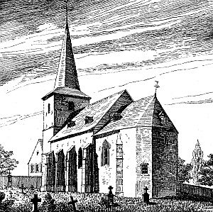 less than 10 m
Place Names / Local History
Ortsgeschichte Rommersheim
less than 10 m
Historic Townscapes
Historischer Ortskern
No picture
70 m
Farmhouses and Farm Buildings
Hakenhofanlage
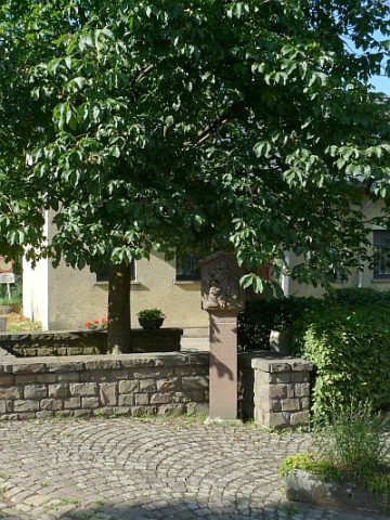 80 m
Wayside Shrines and Stations of the Cross
Marienkreuz
No picture
110 m
Farmhouses and Farm Buildings
Hakenhofanlage
No picture
120 m
Cremation Graves
Römisches Brandgräberfeld
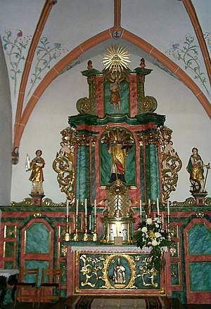 180 m
Catholic Churches
Sankt Maximin (2)
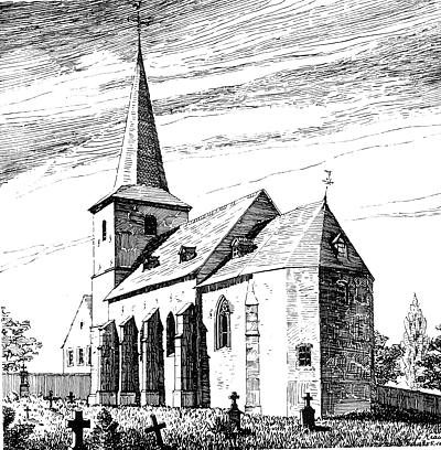 180 m
Catholic Churches