Coats of Arms · Undated
Wappen der Gemeinde Gondenbrett

Classification
- Subject area
- History
- Category
- Coats of Arms
- Date
- Undatiert
- Period
- Undated
Location
- District
- Eifelkreis Bitburg-Prüm
- Collective municipality
- Prüm
- Municipality
- Gondenbrett
- Field name
- Ortslage
- Coordinates
- WGS 84: 50.235786, 6.414457 (Position: within the village) WGS 84: 50° 14′ 08.8″ N, 6° 24′ 52.0″ E UTM 32 (ETRS89): E 315621 · N 5568046
Sources
Data sources
- Homepage der Prümer Land [http://www.pruem.de/Ortsgemeinden/Gondenbrett/gondenbrett.html]
On the internet
pruem.de/Ortsgemeinden/Gondenbrett/gondenbrett.html
Picture credits
- Picture 1: http://www.pruem.de/Ortsgemeinden/Gondenbrett/gondenbrett.html
Last edited: 7 May 2021 Object ID: 6860
https://kulturdb.de/en/objekt/6860-gondenbrett-wappen-der-gemeinde-gondenbrett
Nearby
The nearest objects
No picture
170 m
Wayside Shrines and Stations of the Cross
Wegekreuz
No picture
170 m
Wayside Shrines and Stations of the Cross
Wegekreuz
No picture
200 m
Churches
Münsterbergkreuz, neuer Standort
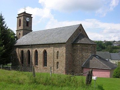 220 m
Catholic Churches
Sankt Dionysius
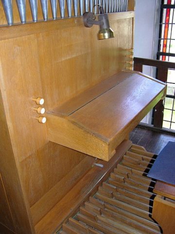 220 m
Organs
Sankt Dionysius - Orgel
No picture
240 m
Wayside Shrines and Stations of the Cross
Wegekreuz
No picture
260 m
Wayside Shrines and Stations of the Cross
Wegekreuz
No picture
310 m
Schools