Street Names · 21st Century
Friedrich-Breitbach-Straße


© GeoBasis-DE / LVermGeoRP, dl-de/by-2-0
There is no picture of this object yet. Do you have a photo that you would like to make available to the Kulturdatenbank? Submit a picture
Description
This description is only available in German.
Translate with Google opens this page in Google Translate (external service)
Benannt nach Friedrich Breitbach (1897-1991), erster Oberbürgermeister von Trier von 1945-46. [1]
Classification
- Subject area
- History
- Category
- Place Names / Local History
- Object type
- Street Names
- Date
- 2000 [Benennung]
- Period
- 21st Century
Location
- District
- City of Trier
- Collective municipality
- Verbandsfreie Gemeinde Trier
- Town
- Trier
- Locality / location
- Trier-Nord
- Street
- Friedrich-Breitbach-Straße
- Field name
- Ortslage
- Coordinates
- WGS 84: 49.770379, 6.657009 (Position: exact) WGS 84: 49° 46′ 13.4″ N, 6° 39′ 25.2″ E UTM 32 (ETRS89): E 331294 · N 5515735
Sources
Data sources
- [1] Die Straßennamen in Trier. Nach Vorarbeiten von Emil Zenz, hg. vom Kulturbüro der Stadt Trier, 2003.
On the internet
Last edited: 18 Jun 2007 Object ID: 6891
https://kulturdb.de/en/objekt/6891-trier-nord-friedrich-breitbach-strasse
Nearby
The nearest objects
 20 m
Street Names
Paul-Trappen-Straße
Street Names
Röschen-Görgen-Straße
Street Names
Heinrich-Rumschöttel-Straße
Street Names
Paul-Trappen-Straße
 60 m
Engineering Structures and Industrial Sites
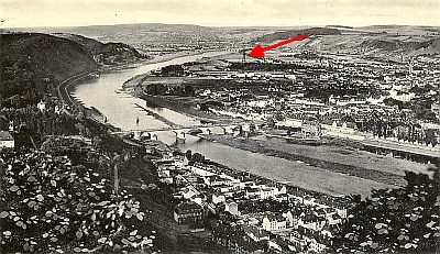
Ehemaliger Mittelwellensender Trier
Street Names
Am Sender
Street Names
Zurmaiener Straße
 190 m
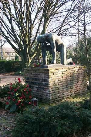
War Memorials