Deserted Settlements · Renaissance
Wallenbachkirche
Wüstung


© GeoBasis-DE / LVermGeoRP, dl-de/by-2-0
There is no picture of this object yet. Do you have a photo that you would like to make available to the Kulturdatenbank? Submit a picture
Description
This description is only available in German.
Translate with Google opens this page in Google Translate (external service)
Ehemalige Friedhofskapelle. Durch die Pestwelle im Jahr 1636 war die Sterberate in Neuerburg so hoch, dass außerhalb der Ortschaft ein neuer Friedhof angelegt wurde (während der französischen Revolution zerstört). [1]
Classification
- Subject area
- Archaeological Monuments
- Category
- Settlements
- Object type
- Deserted Settlements
- Date
- Circa 1500 bis circa 1700
- Period
- Renaissance
Location
- District
- Eifelkreis Bitburg-Prüm
- Collective municipality
- Südeifel
- Town
- Neuerburg
- Locality / location
- Hasenhof
- Field name
- Unterm Kuhpfädchen
- Coordinates
- WGS 84: 50.009407, 6.284605 (Position: exact) WGS 84: 50° 00′ 33.9″ N, 6° 17′ 04.6″ E UTM 32 (ETRS89): E 305446 · N 5543210
Sources
Data sources
- [1] Wanderführer Neuerburger Land
On the internet
Last edited: 7 Oct 2003 Object ID: 7178
https://kulturdb.de/en/objekt/7178-neuerburg-wallenbachkirche
Nearby
The nearest objects
Hospitals
Siechenhaus
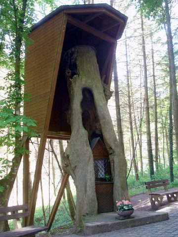 30 m
Wayside Shrines and Stations of the Cross
Schwarzbildchen
 40 m
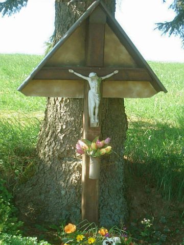
Wayside Shrines and Stations of the Cross
Wegekreuz beim Schwarzbildchen
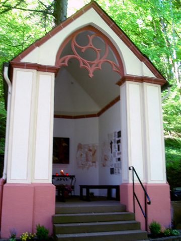 40 m
Pilgrimage Sites
Johanneskapelle
 70 m
Groups of Trees
Kastanie und Weißtanne am Schwarzbildchen
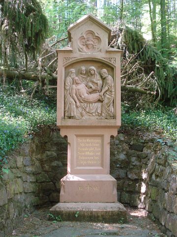 80 m
Wayside Shrines and Stations of the Cross
Kreuzwegstation Schwarzbildchen VII
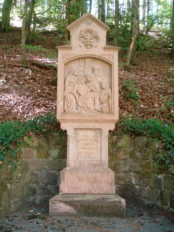 100 m
Wayside Shrines and Stations of the Cross
Kreuzwegstation Schwarzbildchen VI
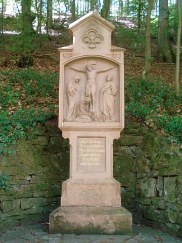 120 m
Wayside Shrines and Stations of the Cross