Place Names / Local History · Gothic
Ortsgeschichte Altscheid


© GeoBasis-DE / LVermGeoRP, dl-de/by-2-0
There is no picture of this object yet. Do you have a photo that you would like to make available to the Kulturdatenbank? Submit a picture
Description
This description is only available in German.
Translate with Google opens this page in Google Translate (external service)
Eine Kirche wurde schon in einem um 1330 entstandenen Register erwähnt. Das Visitationsprotokoll aus dem Jahre 1570 führte in Alschidt eine freie Kurat-Kapelle auf, die von 1654 an als Pfarrkirche bezeichnet wurde. Das Kirchenschiff wurde 1886 um ein Joch nach Westen verlängert. 1991 wurde aus dem Pfarrhaus nach grundlegender Renovierung das Dorfgemeinschaftshaus. Ein Jahr später wurde auch die Pfarrkirche renoviert.
Classification
- Subject area
- History
- Category
- Place Names / Local History
- Date
- Um 1330
- Period
- Gothic
Location
- District
- Eifelkreis Bitburg-Prüm
- Collective municipality
- Südeifel
- Municipality
- Altscheid
- Field name
- Ortslage
- Coordinates
- WGS 84: 50.017989, 6.393490 (Position: within the village) WGS 84: 50° 01′ 04.8″ N, 6° 23′ 36.6″ E UTM 32 (ETRS89): E 313280 · N 5543886
Sources
Data sources
- Homepage der Verbandsgemeinde Neuerburg http://www.vg-neuerburg.de/
On the internet
Last edited: 7 Oct 2003 Object ID: 7263
https://kulturdb.de/en/objekt/7263-altscheid-ortsgeschichte-altscheid
Nearby
The nearest objects
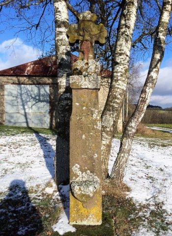 120 m
Wayside Shrines and Stations of the Cross
Wegekreuz
Farmhouses and Farm Buildings
Zweiseithof
Altars
Barocker Altaraufsatz
Catholic Churches
Sankt Matthias
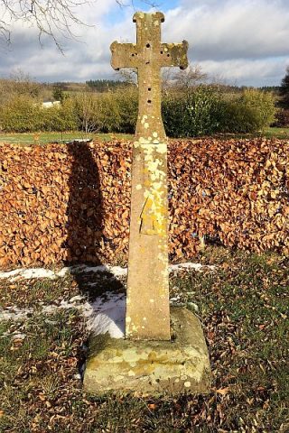 200 m
Wayside Shrines and Stations of the Cross
Wegekreuz
Wayside Shrines and Stations of the Cross
Einfaches Schaftkreuz
Farmhouses and Farm Buildings
Wohnhaus eines Zweiseithofes
Wayside Shrines and Stations of the Cross