Natural Landscapes · Undated
Nusbaumer Hardt

Description
This description is only available in German.
Translate with Google opens this page in Google Translate (external service)
Eines der größten zusammenhängenden Waldgebiete von Rheinland-Pfalz, südlich von Nusbaum.
Classification
- Subject area
- Natural Features
- Category
- Natural Landscapes
- Date
- Undatiert
- Period
- Undated
Location
- District
- Eifelkreis Bitburg-Prüm
- Collective municipality
- Südeifel
- Municipality
- Nusbaum
- Field name
- Nusbaumerhardt
- Coordinates
- WGS 84: 49.885488, 6.359794 (Position: exact) WGS 84: 49° 53′ 07.8″ N, 6° 21′ 35.3″ E UTM 32 (ETRS89): E 310346 · N 5529242
Sources
Data sources
- Homepage der Verbandsgemeinde Neuerburg http://www.vg-neuerburg.de/
On the internet
Picture credits
- Picture 1: Google Earth
Last edited: 4 Dec 2007 Object ID: 7272
https://kulturdb.de/en/objekt/7272-nusbaum-nusbaumer-hardt
Nearby
The nearest objects
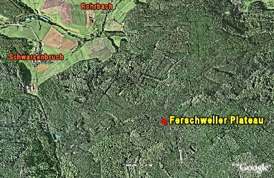 390 m
Natural Fortresses
Ferschweiler Plateau - Steinwall
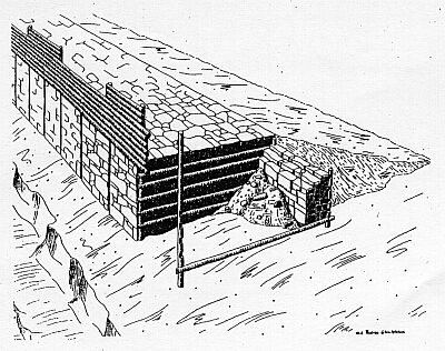 480 m
Natural Fortresses
Ferschweiler Plateau - Wikingerburg
No picture
490 m
Extraction and Processing of Raw Materials
Ehemaliger Steinbruch
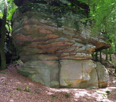 540 m
Extraction and Processing of Raw Materials
Mühlsteinbruch Nusbaumer Hardt
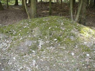 550 m
Burial Mounds
Hügelgrab bei der sogenannten Wikingerburg
560 m
Burial Mounds
Hügelgrab bei der sogenannten Wikingerburg
No picture
580 m
Natural Fortresses
Ferschweiler Plateau - Wallücke
No picture
630 m
Natural Fortresses