Chapels · Historicism / Art Nouveau
Marienkapelle


© GeoBasis-DE / LVermGeoRP, dl-de/by-2-0
There is no picture of this object yet. Do you have a photo that you would like to make available to the Kulturdatenbank? Submit a picture
Description
This description is only available in German.
Translate with Google opens this page in Google Translate (external service)
Die am Ende des 19. Jahrhunderts erbaute Marienkapelle, wurde Mitte der dreißiger Jahre durch einen beeindruckenden Neubau ersetzt, der mittlerweile zum Wahrzeichen des Dorfes geworden ist.
Der Ort Niederraden ist Filialort der Pfarrei Utscheid.
Classification
- Subject area
- Architectural and Art Monuments
- Category
- Religious Buildings
- Object type
- Chapels
- Date
- Ende des 19. Jahrhunderts
Location
- District
- Eifelkreis Bitburg-Prüm
- Collective municipality
- Südeifel
- Municipality
- Niederraden
- Field name
- Ortslage
- Coordinates
- WGS 84: 49.981234, 6.327521 (Position: exact) WGS 84: 49° 58′ 52.4″ N, 6° 19′ 39.1″ E UTM 32 (ETRS89): E 308409 · N 5539967
Sources
Data sources
- Homepage der Verbandsgemeinde Neuerburg http://www.vg-neuerburg.de/
On the internet
Last edited: 4 Sep 2007 Object ID: 7287
https://kulturdb.de/en/objekt/7287-niederraden-marienkapelle
Nearby
The nearest objects
Farmhouses and Farm Buildings
Wohnhaus mit fünfachsigem Wohnteil
 80 m
War Memorials
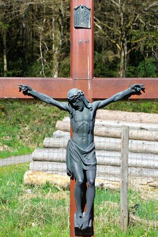
Friedhofskreuz
 90 m
Lime Trees
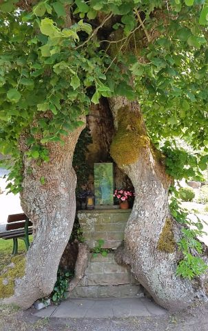
Dorflinde mit Marienaltar
Farmhouses and Farm Buildings
Wohnhaus mit vierachsigem Wohnteil
Place Names / Local History
Ortsgeschichte Niederraden
Field Names
Im Winkel
Find Sites
Römische Fundstreuung
Field Names