Catholic Churches · Gothic
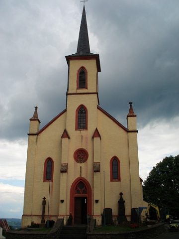
Ehemalige Kirche
Ehemalige Pfarrkirche


© GeoBasis-DE / LVermGeoRP, dl-de/by-2-0
There is no picture of this object yet. Do you have a photo that you would like to make available to the Kulturdatenbank? Submit a picture
Description
This description is only available in German.
Translate with Google opens this page in Google Translate (external service)
Bereits im Jahre 1348 war in den Akten der Trinitarier von Vianden von einer Kirche de Carlshuse die Rede. Auch im Archiv des Bistums Trier wurde 1389 eine Kirche zu Carelshusen verzeichnet. 1640 erschien der Ort in den Archiven als selbständige Pfarrei.
Die alte Pfarrkirche wurde im Jahre 1541, die neue Kirche 1861 erbaut.
Classification
- Subject area
- Architectural and Art Monuments
- Category
- Religious Buildings
- Object type
- Catholic Churches
- Date
- 1348
- Period
- Gothic
Location
- District
- Eifelkreis Bitburg-Prüm
- Collective municipality
- Südeifel
- Municipality
- Karlshausen
- Street
- Dorfstraße
- Field name
- Ortslage
- Coordinates
- WGS 84: 50.022896, 6.225839 (Position: presumed) WGS 84: 50° 01′ 22.4″ N, 6° 13′ 33.0″ E UTM 32 (ETRS89): E 301292 · N 5544864
Sources
Data sources
- Homepage der Verbandsgemeinde Neuerburg http://www.vg-neuerburg.de/
On the internet
Last edited: 16 Aug 2022 Object ID: 7293
https://kulturdb.de/en/objekt/7293-karlshausen-ehemalige-kirche
Nearby
The nearest objects
 20 m
Catholic Churches
Sankt Bartholomäus
Organs
Sankt Bartholomäus - Orgel
 20 m
Wayside Shrines and Stations of the Cross
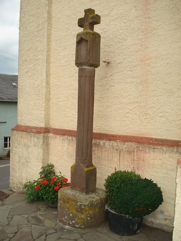
Nischenkreuz am Kircheneingang
Rectories
Ehemaliges Pfarrhaus
Chapels
Wegekapelle
200 m
Place Names / Local History
Ortsname / Ortsgeschichte Karlshausen
Field Names
Bei der Kirchenwies
Field Names