Deserted Settlements · Early Middle Ages / Romanesque
Wüstung Winardshof


© GeoBasis-DE / LVermGeoRP, dl-de/by-2-0
There is no picture of this object yet. Do you have a photo that you would like to make available to the Kulturdatenbank? Submit a picture
Description
This description is only available in German.
Translate with Google opens this page in Google Translate (external service)
Winardi curtis. 23. Juni 720: Zur ersten Schenkung der Bertrada an das Kloster Prüm gehört unter anderem diese Siedlung. Ihre genaue Lage ist heute unbekannt. [1]
Classification
- Subject area
- Archaeological Monuments
- Category
- Settlements
- Object type
- Deserted Settlements
- Date
- 720
Location
- District
- Eifelkreis Bitburg-Prüm
- Town
- Prüm
- Field name
- Mehlenbüsch
- Coordinates
- WGS 84: 50.191329, 6.383236 (Position: presumed) WGS 84: 50° 11′ 28.8″ N, 6° 22′ 59.6″ E UTM 32 (ETRS89): E 313221 · N 5563181
Sources
Data sources
- [1] Janssen, W.: Studien zur Wüstungsfrage im fränkischen Altsiedelland zwischen Rhein, Mosel und Eifelnordrand. 2 Bände. Text u. Katalog, 1975.
On the internet
Last edited: 7 Oct 2003 Object ID: 730
https://kulturdb.de/en/objekt/730-pruem-wuestung-winardshof
Nearby
The nearest objects
Wayside Shrines and Stations of the Cross
Wegekreuz
Fords
Ehemalige Furt durch die Prüm
Extraction and Processing of Raw Materials
Ehemaliger Steinbruch
Extraction and Processing of Raw Materials
Ehemalige Kiesgrube
Wayside Shrines and Stations of the Cross
Wegekreuz
 600 m
Wayside Shrines and Stations of the Cross
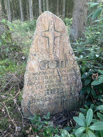
Findling mit Kreuzornament und Inschrift
Field Names
Auf dem Dellenberg
Extraction and Processing of Raw Materials