Natural Fortresses · Prehistory / Early History
Ferschweiler Plateau
Abschnitt 34


© GeoBasis-DE / LVermGeoRP, dl-de/by-2-0
There is no picture of this object yet. Do you have a photo that you would like to make available to the Kulturdatenbank? Submit a picture
Description
This description is only available in German.
Translate with Google opens this page in Google Translate (external service)
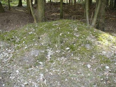
Der Randwall ist auf einer Länge von 20 Meter doppelt, dann nur noch nach außen geböscht. Er endet in einer alten Torgasse. Die Fortsetzung in östlicher Richtung wird bis zum Abschnitt 1 als gleichmäßig nach beiden Seiten ausgebildeter Wall sichtbar. [1]
Classification
- Subject area
- Archaeological Monuments
- Object type
- Natural Fortresses
- Date
- Circa 750 vor Chr. bis circa 450 vor Chr.
Location
- District
- Eifelkreis Bitburg-Prüm
- Collective municipality
- Südeifel
- Municipality
- Nusbaum
- Field name
- In der Tiefendell
- Coordinates
- WGS 84: 49.884249, 6.370471 (Position: exact) WGS 84: 49° 53′ 03.3″ N, 6° 22′ 13.7″ E UTM 32 (ETRS89): E 311108 · N 5529077
Sources
Data sources
- [1] Vor- und frühgeschichtliche Burgwälle des Regierungsbezirkes Trier und des Kreises Birkenfeld. Von Karl-Heinz Koch und Reinhard Schindler. Selbstverlag des Rheinischen Landesmuseums Trier 1994. Online-Shop: www.landesmuseum-trier-shop.de
On the internet
Last edited: 7 Oct 2003 Object ID: 7357
https://kulturdb.de/en/objekt/7357-nusbaum-ferschweiler-plateau
Nearby
The nearest objects
Natural Fortresses
Ferschweiler Plateau
 220 m
Burial Mounds
Hügelgrab bei der sogenannten Wikingerburg
230 m
Burial Mounds
Hügelgrab bei der sogenannten Wikingerburg
260 m
Burial Mounds
Hügelgrab bei der sogenannten Wikingerburg
Field Names
In der Tiefendell
Springs
Diebachquelle
Extraction and Processing of Raw Materials
Ehemaliger Steinbruch
320 m
Burial Mounds