Rocks · Undated
Zuckerhut


Description
This description is only available in German.
Translate with Google opens this page in Google Translate (external service)
Felsformation an der Kreisstraße 68 Mandern - Zerf. Härtling des Taunus-Quarzits, teilweise mit Kristallrasen besetzt. [1]
Classification
- Subject area
- Natural Features
- Category
- Rocks
- Date
- Undatiert
- Period
- Undated
Location
- District
- Trier-Saarburg
- Collective municipality
- Saarburg-Kell
- Municipality
- Mandern
- Field name
- Auf Zuckerhut
- Coordinates
- WGS 84: 49.604183, 6.744400 (Position: exact) WGS 84: 49° 36′ 15.1″ N, 6° 44′ 39.8″ E UTM 32 (ETRS89): E 337031 · N 5497067
Sources
Data sources
- [1] Wanderkarte Naturpark Saar-Hunsrück und Ruwertal. Blatt Ruwer und Hermeskeil. M.: 1:35.000
On the internet
Picture credits
Last edited: 18 May 2011 Object ID: 7389
https://kulturdb.de/en/objekt/7389-mandern-zuckerhut
Nearby
The nearest objects
No picture
280 m
Oaks
Sogenannte Dicke Eiche
No picture
290 m
Wayside Shrines and Stations of the Cross
Sandsteinkreuz von 1808
 460 m
Charcoal Kilns
Ehemaliger Meilerplatz
No picture
470 m
Field Names
Rosengarten
No picture
710 m
Fords
Ehemalige Furt durch die Ruwer
850 m
Charcoal Kilns
Ehemaliger Meilerplatz
 970 m
Fountains and Wells
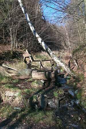
Haimborn
 970 m
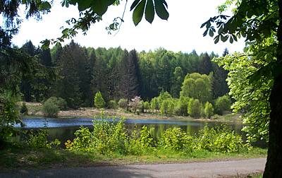
Natural Landscapes