Surveying · Undated
11 Historische Grenzsteine - 3. Stein
Gemarkung Lötzbeuren - Büchenbeuren

Classification
- Subject area
- Architectural and Art Monuments
- Category
- Markers and Monuments
- Object type
- Surveying
- Date
- Undatiert
- Period
- Undated
Location
- District
- Bernkastel-Wittlich
- Collective municipality
- Traben-Trarbach
- Municipality
- Lötzbeuren
- Field name
- Am Bettelpfad
- Coordinates
- WGS 84: 49.924257, 7.240817 (Position: exact) WGS 84: 49° 55′ 27.3″ N, 7° 14′ 26.9″ E UTM 32 (ETRS89): E 373730 · N 5531693
Sources
Data sources
- [1] Landesamt für Denkmalpflege in: Umweltverträglichkeitsstudie zur Verlängerung der Start- und Landebahn Flughafen Hahn vom 1.7.2003
On the internet
Picture credits
- Picture 1: Andreas Weber
Last edited: 3 Nov 2003 Object ID: 7427
https://kulturdb.de/en/objekt/7427-loetzbeuren-11-historische-grenzsteine-3-stein
Nearby
The nearest objects
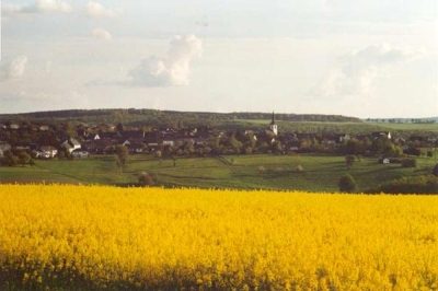 180 m
Surveying
11 Historische Grenzsteine - 4. Stein
200 m
Surveying
11 Historische Grenzsteine - 2. Stein
370 m
Surveying
11 Historische Grenzsteine - 1. Stein
380 m
Surveying
11 Historische Grenzsteine - 5. Stein
590 m
Surveying
11 Historische Grenzsteine - 6. Stein
690 m
Surveying
11 Historische Grenzsteine - 7. Stein
840 m
Surveying
11 Historische Grenzsteine - 8. Stein
No picture
920 m
Field Names