Castles · Gothic
Burgruine Schloss Hartelstein - Wüstung

Description
This description is only available in German.
Translate with Google opens this page in Google Translate (external service)
Die Tranchot-Karte 153 Prüm zeigt Hartelstein, Châteu ruinée mit roter Punktierung die die Reste der Burg andeutet.
Classification
- Subject area
- Archaeological Monuments
- Object type
- Castles
- Date
- Circa 1100 bis circa 1500
- Period
- Gothic
Location
- District
- Eifelkreis Bitburg-Prüm
- Collective municipality
- Prüm
- Municipality
- Schwirzheim
- Field name
- An der Burg
- Coordinates
- WGS 84: 50.234190, 6.531560 (Position: exact) WGS 84: 50° 14′ 03.1″ N, 6° 31′ 53.6″ E UTM 32 (ETRS89): E 323965 · N 5567585
Sources
Data sources
- Janssen, W.: Studien zur Wüstungsfrage im fränkischen Altsiedelland zwischen Rhein, Mosel und Eifelnordrand. 2 Bände. Text u. Katalog, 1975.
On the internet
Picture credits
- Picture 1: Google Earth
Last edited: 29 Aug 2006 Object ID: 743
https://kulturdb.de/en/objekt/743-schwirzheim-burgruine-schloss-hartelstein-wuestung
Nearby
The nearest objects
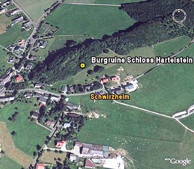 less than 10 m
Castles
Burgruine Schloss Hartelstein
20 m
Chapels
Ehemalige Burgkapelle
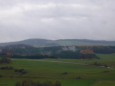 20 m
Viewpoints
Aussichtspunkt Hartelstein
 30 m
Rocks
Bergkegel mit Burgruine Hartelstein
No picture
90 m
Field Names
Aufm Dürrenpesch
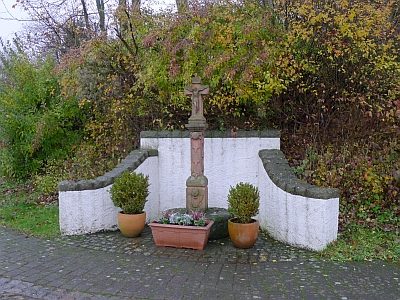 160 m
Wayside Shrines and Stations of the Cross
Schaftkreuz
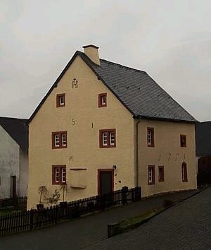 210 m
Farmhouses and Farm Buildings
Wohnhaus
No picture
230 m
Field Names