Burial Mounds · Early Middle Ages / Romanesque
Fränkischer Friedhof am Pfaffenberg
- Listed monument


© GeoBasis-DE / LVermGeoRP, dl-de/by-2-0
There is no picture of this object yet. Do you have a photo that you would like to make available to the Kulturdatenbank? Submit a picture
Description
This description is only available in German.
Translate with Google opens this page in Google Translate (external service)
Größere Friedhofsanlage. [1]
Classification
- Subject area
- Archaeological Monuments
- Category
- Burials
- Object type
- Burial Mounds
- Date
- Circa 500 nach Chr. bis circa 1220
Location
- District
- Trier-Saarburg
- Collective municipality
- Trier-Land
- Municipality
- Zemmer
- Field name
- Auf dem Mäuerchen
- Coordinates
- WGS 84: 49.889912, 6.698886 (Position: exact) WGS 84: 49° 53′ 23.7″ N, 6° 41′ 56.0″ E UTM 32 (ETRS89): E 334717 · N 5528930
Sources
Data sources
- [1] Robert P. Reuter: Die Fidei - Der Lebensraum unserer Vorfahren. Band 1. Verlag Helios. 2003. ISBN3-933608-78-3
On the internet
Last edited: 31 May 2020 Object ID: 7503
https://kulturdb.de/en/objekt/7503-zemmer-fraenkischer-friedhof-am-pfaffenberg
Nearby
The nearest objects
Extraction and Processing of Raw Materials
Ehemaliger Steinbruch
Extraction and Processing of Raw Materials
Ehemaliger Steinbruch am Pfaffenberg
Field Names
Hasenwies
 160 m
Washing Places
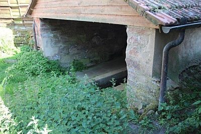
Waschhaus
Schools
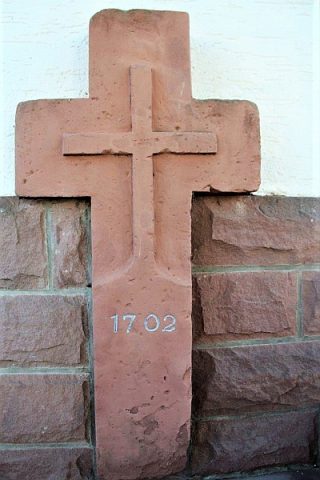
Ehemalige Mädchenschule
 190 m
Wayside Shrines and Stations of the Cross
Balkenkreuz
Extraction and Processing of Raw Materials
Ehemaliger Steinbruch im Grundsgraben
Field Names