Mills · Undated
Getreidemühlen


© GeoBasis-DE / LVermGeoRP, dl-de/by-2-0
There is no picture of this object yet. Do you have a photo that you would like to make available to the Kulturdatenbank? Submit a picture
Description
This description is only available in German.
Translate with Google opens this page in Google Translate (external service)
Unterhalb von Korlingen, im Tal der Ruwer, gibt es noch zahlreiche alte Getreidemühlen.
Classification
- Subject area
- Architectural and Art Monuments
- Object type
- Mills
- Date
- Undatiert
- Period
- Undated
Location
- District
- Trier-Saarburg
- Collective municipality
- Ruwer
- Municipality
- Korlingen
- Locality / location
- Korlingermühle
- Field name
- Bei der Korlinger Mühle
- Coordinates
- WGS 84: 49.727408, 6.734892 (Position: exact) WGS 84: 49° 43′ 38.7″ N, 6° 44′ 05.6″ E UTM 32 (ETRS89): E 336757 · N 5510786
Sources
Data sources
- Homepage der Verbandsgemeinde Ruwer
On the internet
Last edited: 22 Nov 2003 Object ID: 7621
https://kulturdb.de/en/objekt/7621-korlingen-getreidemuehlen
Nearby
The nearest objects
Mills
Korlingermühle im Ruwertal
Field Names
In der Grundbach
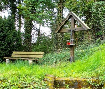 130 m
Wayside Shrines and Stations of the Cross
Wegekreuz
Mills
Herrgottsmühle (Morscheider Mühle)
Field Names
Breitwiese
Field Names
Im Föhrenborn
Vineyard Sites
Andreasberg
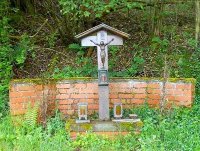 430 m
Wayside Shrines and Stations of the Cross