Mills · Neoclassicism
Rohrbachermühle an der Rohrbachmündung
- Listed monument


© GeoBasis-DE / LVermGeoRP, dl-de/by-2-0
There is no picture of this object yet. Do you have a photo that you would like to make available to the Kulturdatenbank? Submit a picture
Description
This description is only available in German.
Translate with Google opens this page in Google Translate (external service)
Die Mühle erhebt sich an der Stelle eines Vorgängers, der auf der um 1819 entstandenen Karte eingetragenen ist. Sie ist auf ihrem Portal auf das Jahr 1827 datiert. Neben einem IHS-Monogramm sind die Ini tialen MP zu finden. Die Fenster sind teilweise noch historisch verglast. Im Innern ist noch das Mahlwerk, im Wohnteil Spülbecken und Feuerbalken erhalten. Die Uferbefestigung ist weitgehend unzerstört. [1]
Classification
- Subject area
- Architectural and Art Monuments
- Object type
- Mills
- Date
- 1819 [Kartendarstellung]
- Period
- Neoclassicism
Location
- District
- Eifelkreis Bitburg-Prüm
- Collective municipality
- Südeifel
- Municipality
- Schankweiler
- Locality / location
- Rohrbachermühle
- Field name
- Beim Moor
- Coordinates
- WGS 84: 49.904940, 6.374140 (Position: exact) WGS 84: 49° 54′ 17.8″ N, 6° 22′ 26.9″ E UTM 32 (ETRS89): E 311453 · N 5531368
Sources
Data sources
- [1] Denkmaltopographie Bundesrepublik Deutschland, Kulturdenkmäler in Rheinland-Pfalz, Kreis Bitburg-Prüm, 9.2 Wernersche Verlagsgesellschaft 1994. ISBN 3-88462-132-7
On the internet
Last edited: 11 Jan 2007 Object ID: 7660
https://kulturdb.de/en/objekt/7660-schankweiler-rohrbachermuehle-an-der-rohrbachmuendung
Nearby
The nearest objects
 120 m
Deserted Settlements
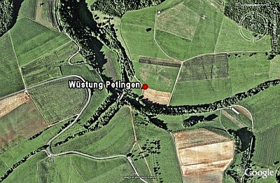
Wüstung Petingen
Settlements
Römische Fundstelle
Field Names
Lehmkaul
Road Transport
Neubrücke über die Enz
Burial Mounds
Fränkischer Friedhof Wichterberg
Field Names
Im Auel
Field Names
In Faudell
Field Names