Mills · Renaissance
Untere Klüsserather Mühle

Description
This description is only available in German.
Translate with Google opens this page in Google Translate (external service)
Classification
- Subject area
- Architectural and Art Monuments
- Object type
- Mills
- Date
- 1546
- Period
- Renaissance
Location
- District
- Trier-Saarburg
- Collective municipality
- Schweich an der römischen Weinstraße
- Municipality
- Klüsserath
- Field name
- Ortslage
- Coordinates
- WGS 84: 49.843521, 6.842523 (Position: exact) WGS 84: 49° 50′ 36.7″ N, 6° 50′ 33.1″ E UTM 32 (ETRS89): E 344885 · N 5523465
Sources
Data sources
- [1] Erich Gerten und Manfred Morsbach: Die Salm. Hrsg. Verbandsgemeinde Wittlich-Land 2009.
- [2] Bärsch: Beschreibung des Regierungsbezirks Trier nach amtlichen Quellen. Bd. 2, Trier, 1846.
On the internet
Picture credits
- Picture 1: © Helge Rieder, Konz, 2000
Last edited: 29 Mar 2013 Object ID: 7730
https://kulturdb.de/en/objekt/7730-kluesserath-untere-kluesserather-muehle
Nearby
The nearest objects
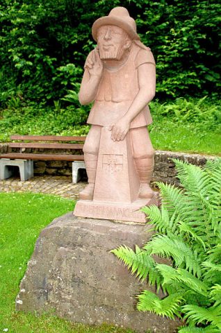 70 m
Markers and Monuments
Rudemsmännchen
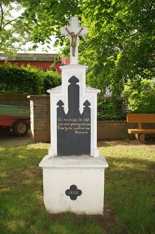 80 m
Wayside Shrines and Stations of the Cross
Neugotisches Pfeilerkreuz
No picture
150 m
Vineyard Sites
Bruderschaft
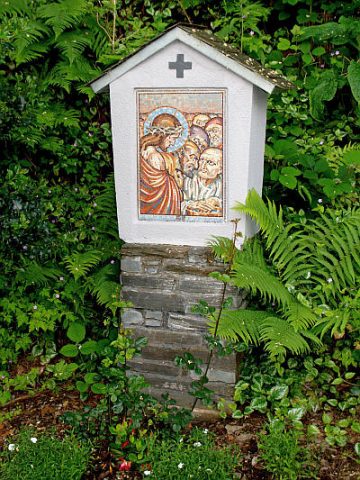 160 m
Wayside Shrines and Stations of the Cross
Kreuzweg zur Rudemskapelle - 1. Station
No picture
160 m
Mills
Ehemalige Mühle
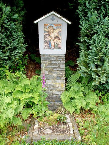 160 m
Wayside Shrines and Stations of the Cross
Kreuzweg zur Rudemskapelle - 12. Station
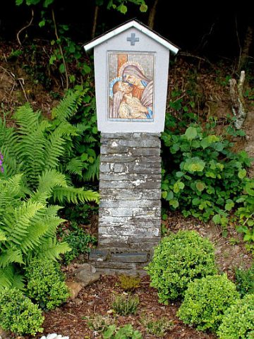 180 m
Wayside Shrines and Stations of the Cross
Kreuzweg zur Rudemskapelle - 13. Station
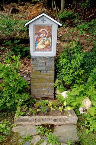 210 m
Wayside Shrines and Stations of the Cross