Mills · Early Middle Ages / Romanesque
Unterste Mühle an der Nims


© GeoBasis-DE / LVermGeoRP, dl-de/by-2-0
There is no picture of this object yet. Do you have a photo that you would like to make available to the Kulturdatenbank? Submit a picture
Classification
- Subject area
- Architectural and Art Monuments
- Object type
- Mills
- Date
- 893-1922
Location
- District
- Eifelkreis Bitburg-Prüm
- Collective municipality
- Bitburger Land
- Municipality
- Seffern
- Field name
- Untere Mühle
- Coordinates
- WGS 84: 50.061332, 6.502735 (Position: exact) WGS 84: 50° 03′ 40.8″ N, 6° 30′ 09.8″ E UTM 32 (ETRS89): E 321266 · N 5548437
Sources
Data sources
- Zur Geschichte der Mühlen in Bitburg Stadt und Land. Beiträge zur Geschichte des Bitburger Landes, Heft 3, 1991. http://www.gak-bitburg.de/
On the internet
Last edited: 28 Jan 2013 Object ID: 7803
https://kulturdb.de/en/objekt/7803-seffern-unterste-muehle-an-der-nims
Nearby
The nearest objects
No picture
190 m
Field Names
In der Gieheld
No picture
200 m
Wayside Shrines and Stations of the Cross
Kreuzwegstation
No picture
220 m
Wayside Shrines and Stations of the Cross
Kreuzwegstation
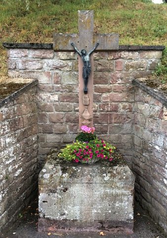 220 m
Wayside Shrines and Stations of the Cross
Wegekreuz gegenüber dem Friedhof
No picture
310 m
War Memorials
Ehemaliges Friedhofskreuz
No picture
310 m
Farmhouses and Farm Buildings
Ehemalige Steinmetzwerkstatt
No picture
320 m
Epitaphs
Epitaph
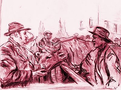 340 m
Market Towns