Mills · Historicism / Art Nouveau
Urbermühle im Ourtal

Classification
- Subject area
- Architectural and Art Monuments
- Object type
- Mills
- Date
- Karte von 1893
Location
- District
- Eifelkreis Bitburg-Prüm
- Collective municipality
- Prüm
- Municipality
- Winterspelt
- Locality / location
- Urbermühle
- Field name
- In den Weiden
- Coordinates
- WGS 84: 50.248912, 6.206845 (Position: exact) WGS 84: 50° 14′ 56.1″ N, 6° 12′ 24.6″ E UTM 32 (ETRS89): E 300872 · N 5570039
Sources
Data sources
- [1] GeoPortal des Landes Rheinland-Pfalz. http://www.geoportal.rlp.de/
On the internet
Picture credits
- Picture 1: Preußische Kartenaufnahme 1:25 000 (1891 - 1912) Neuaufnahme
Last edited: 6 Jun 2009 Object ID: 7807
https://kulturdb.de/en/objekt/7807-winterspelt-urbermuehle-im-ourtal
Nearby
The nearest objects
No picture
50 m
Wayside Shrines and Stations of the Cross
Wegekreuz
 310 m
Altars
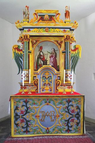
Sankt Hubertus - Hochaltar
 310 m
Catholic Churches
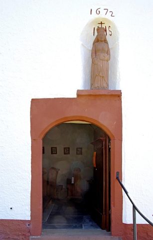
Sankt Hubertus - Portalstatue Sankt Lucia
 310 m
Catholic Churches
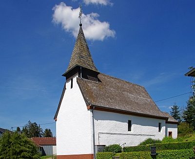
Sankt Hubertus
 310 m
Catholic Churches
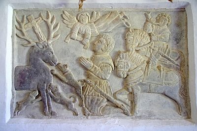
Sankt Hubertus - Hubertusrelief
 310 m
Catholic Churches
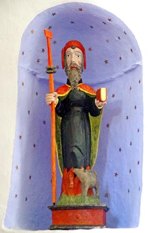
Sankt Hubertus - Kleinfiguren in der Apsis
No picture
800 m
Field Names
In der Wasserdell
No picture
1.1 km
Wayside Shrines and Stations of the Cross