Mills · Historicism / Art Nouveau
Wollmühle im Nimstal


© GeoBasis-DE / LVermGeoRP, dl-de/by-2-0
There is no picture of this object yet. Do you have a photo that you would like to make available to the Kulturdatenbank? Submit a picture
Description
This description is only available in German.
Translate with Google opens this page in Google Translate (external service)
1888 Oberste Rittersdorfer Mühle. [1]
Classification
- Subject area
- Architectural and Art Monuments
- Object type
- Mills
- Date
- 1888-1953
Location
- District
- Eifelkreis Bitburg-Prüm
- Collective municipality
- Bitburger Land
- Municipality
- Rittersdorf
- Locality / location
- Wollmühle
- Field name
- Wollmühle
- Coordinates
- WGS 84: 50.005146, 6.499651 (Position: exact) WGS 84: 50° 00′ 18.5″ N, 6° 29′ 58.7″ E UTM 32 (ETRS89): E 320836 · N 5542199
Sources
Data sources
- [1] Zur Geschichte der Mühlen in Bitburg Stadt und Land. Beiträge zur Geschichte des Bitburger Landes, Heft 3, 1991. http://www.gak-bitburg.de/
- [2] Topographische Karte von 1888.
On the internet
Last edited: 28 Jan 2013 Object ID: 7817
https://kulturdb.de/en/objekt/7817-rittersdorf-wollmuehle-im-nimstal
Nearby
The nearest objects
Field Names
Im Grundbirnberg
Settlements
Römische Siedlung
Wayside Shrines and Stations of the Cross
Wegekreuz
Field Names
Aufm Hostert
Field Names
Im Taufelsberg
Town Houses and Commercial Buildings
Portalgewände
 720 m
Surveying
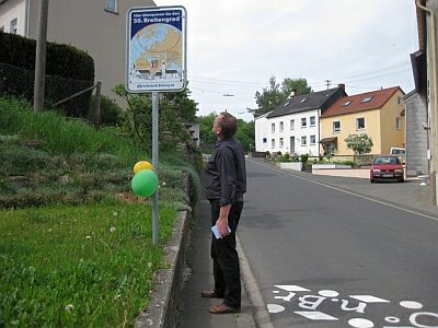
50. Breitengrad
Town Houses and Commercial Buildings