Deserted Settlements · Gothic
Wüstung Biez


© GeoBasis-DE / LVermGeoRP, dl-de/by-2-0
There is no picture of this object yet. Do you have a photo that you would like to make available to the Kulturdatenbank? Submit a picture
Description
This description is only available in German.
Translate with Google opens this page in Google Translate (external service)
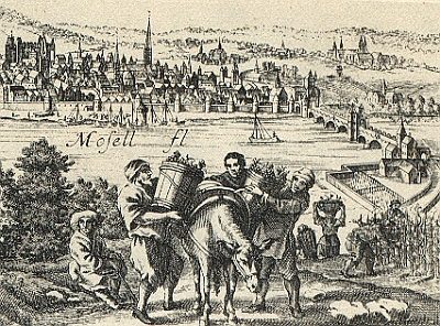
Auch: Beiss, Beissen, Biessen, Bis. Nennung um 1100. Es handelt sich wohl um einen Stadtteil, der allerdings außerhalb der Mauern, dicht an der Mosel, etwas südlich der Moselbrücke gelegen war. [1]
Classification
- Subject area
- Archaeological Monuments
- Category
- Settlements
- Object type
- Deserted Settlements
- Date
- Circa 1100 bis circa 1500
- Period
- Gothic
Location
- District
- City of Trier
- Collective municipality
- Verbandsfreie Gemeinde Trier
- Town
- Trier
- Locality / location
- Trier-Süd
- Street
- Sankt-Barbara-Ufer
- Field name
- Ortslage
- Coordinates
- WGS 84: 49.744417, 6.628467 (Position: presumed) WGS 84: 49° 44′ 39.9″ N, 6° 37′ 42.5″ E UTM 32 (ETRS89): E 329148 · N 5512914
Sources
Data sources
- [1] Janssen, W.: Studien zur Wüstungsfrage im fränkischen Altsiedelland zwischen Rhein, Mosel und Eifelnordrand. 2 Bände. Text u. Katalog, 1975.
On the internet
Last edited: 27 Jan 2001 Object ID: 79
https://kulturdb.de/en/objekt/79-trier-sued-wuestung-biez
Nearby
The nearest objects
 30 m
Vineyard Sites
Weinbau im Mittelalter
Town Fortifications
Ehemaliger Turm der römischen Stadtmauer
Settlements
Historische Siedlung Bies
Town Fortifications
Ehemaliger Turm der römischen Stadtmauer
120 m
Vineyard Sites
Schalbede
Street Names
Lintzstraße
Extraction and Processing of Raw Materials
Römisches Töpfereiviertel
Town Fortifications