Road Transport · Undated
Wallfahrtsweg


© GeoBasis-DE / LVermGeoRP, dl-de/by-2-0
There is no picture of this object yet. Do you have a photo that you would like to make available to the Kulturdatenbank? Submit a picture
Classification
- Subject area
- Architectural and Art Monuments
- Category
- Economy, Trade and Transport
- Object type
- Road Transport
- Date
- Undatiert
- Period
- Undated
Location
- District
- Bernkastel-Wittlich
- Collective municipality
- Wittlich-Land
- Municipality
- Platten
- Street
- Neuenhofer Weg
- Field name
- Kleinrüstchen
- Coordinates
- WGS 84: 49.943657, 6.933015 (Position: exact) WGS 84: 49° 56′ 37.2″ N, 6° 55′ 58.9″ E UTM 32 (ETRS89): E 351698 · N 5534414
Sources
Data sources
- Eifelverein. Wanderkarte 1:25.000 Nr. 24 "Wittlicher Land"
On the internet
Last edited: 13 Jan 2004 Object ID: 7956
https://kulturdb.de/en/objekt/7956-platten-wallfahrtsweg
Nearby
The nearest objects
 260 m
Chapels
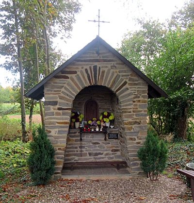
Marienkapelle
No picture
490 m
Field Names
Wolfsborn
No picture
500 m
Field Names
Zur Trift
No picture
640 m
Field Names
Wolfsborn
No picture
690 m
Field Names
Lehmkaul
No picture
1.1 km
Find Sites
Römische Scherben
No picture
1.1 km
Field Names
Auf dem Hohrech
No picture
1.2 km
Field Names