Place Names / Local History · Gothic
Ortsname / Ortsgeschichte

Description
This description is only available in German.
Translate with Google opens this page in Google Translate (external service)
In den alten Urkunden wird dieser Ort als Guntzerat 1290 zum ersten Male genannt. Die vorher zur Verbandsgemeinde Bernkastel-Land zählende Gemeinde Gonzerath wurde am 07.11.1970 in die damalige Verbandsgemeinde Morbach eingegliedert. Gonzerath ist der zweitgrößte Ort im Gemeindebezirk.
Classification
- Subject area
- History
- Category
- Place Names / Local History
- Date
- 1290
- Period
- Gothic
Location
- District
- Bernkastel-Wittlich
- Collective municipality
- Einheitsgemeinde Morbach
- Municipality
- Morbach
- Locality / location
- Gonzerath
- Field name
- Ortslage
- Coordinates
- WGS 84: 49.857039, 7.115432 (Position: within the village) WGS 84: 49° 51′ 25.3″ N, 7° 06′ 55.6″ E UTM 32 (ETRS89): E 364543 · N 5524439
Sources
Data sources
- Homepage der Gemeinde Morbach http://www.morbach.de/gemeinde/ortsbezirke.htm
On the internet
Picture credits
- Picture 1: Homepage der Gemeinde Morbach, 2004.
Last edited: 20 Jan 2004 Object ID: 7998
https://kulturdb.de/en/objekt/7998-morbach-ortsname-ortsgeschichte
Nearby
The nearest objects
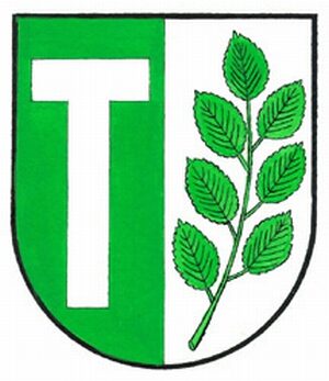 less than 10 m
Coats of Arms
Wappen von Morbach-Gonzerath
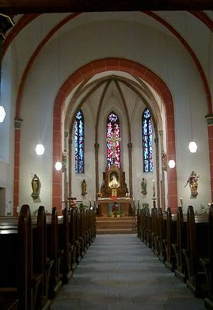 70 m
Catholic Churches
Sankt Antonius und Sankt Valerius
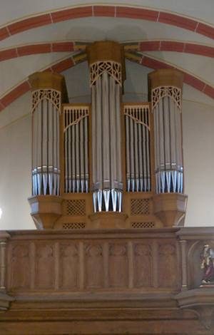 70 m
Organs
Sankt Antonius und Sankt Valerius - Orgel
Chapels
Kapelle
Extraction and Processing of Raw Materials
Ehemaliger Steinbruch
Wayside Shrines and Stations of the Cross
Wegekreuz
Field Names
Aufm Höhrech
Field Names