Deserted Settlements · Gothic
Wüstung Brücken
Burg und Siedlung

Description
This description is only available in German.
Translate with Google opens this page in Google Translate (external service)
Außerhalb der mittelalterlichen Stadtumwehrung, an der Moselseite, im Bereich der Barbarathermen. Zur Siedlung Brücken, an die heute noch die Brückenstraße erinnert, gibt es zahlreiche urkundliche Belege. [1]
Classification
- Subject area
- Archaeological Monuments
- Category
- Settlements
- Object type
- Deserted Settlements
- Date
- Circa 1100 bis circa 1500
- Period
- Gothic
Location
- District
- City of Trier
- Collective municipality
- Verbandsfreie Gemeinde Trier
- Town
- Trier
- Locality / location
- Trier-Süd
- Street
- Bäderstraße
- Field name
- Ortslage
- Coordinates
- WGS 84: 49.750076, 6.629373 (Position: exact) WGS 84: 49° 45′ 00.3″ N, 6° 37′ 45.7″ E UTM 32 (ETRS89): E 329233 · N 5513541
Sources
Data sources
- [1] Janssen, W.: Studien zur Wüstungsfrage im fränkischen Altsiedelland zwischen Rhein, Mosel und Eifelnordrand. 2 Bände. Text u. Katalog, 1975.
On the internet
de.wikipedia.org/wiki/Trier-S%C3%BCd
Picture credits
- Picture 1: Google Earth
Last edited: 30 Mar 2001 Object ID: 80
https://kulturdb.de/en/objekt/80-trier-sued-wuestung-bruecken
Nearby
The nearest objects
Catholic Churches
Ehemalige Kirche Sankt Maria ad Pontem
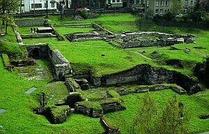 60 m
Recreation and Sports Facilities
Barbarathermen
Town Houses and Commercial Buildings
Außenmauern
Town Houses and Commercial Buildings
Wohnhaus
 100 m
Jewish History
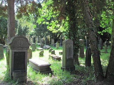
Jüdische Geschichte Barbara
 110 m
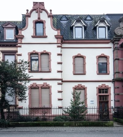
Town Houses and Commercial Buildings
Haus Kaiserstraße 8 A
 110 m
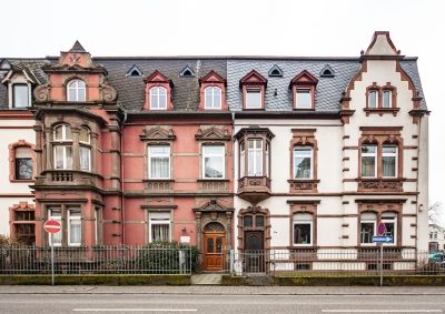
Town Houses and Commercial Buildings
Haus Kaiserstraße 7 A
110 m
Town Houses and Commercial Buildings