Place Names / Local History · Early Middle Ages / Romanesque
Ortsname / Ortsgeschichte


© GeoBasis-DE / LVermGeoRP, dl-de/by-2-0
There is no picture of this object yet. Do you have a photo that you would like to make available to the Kulturdatenbank? Submit a picture
Description
This description is only available in German.
Translate with Google opens this page in Google Translate (external service)
Der Ort, schon im9. Jahrhundert Eigentum des Erzstiftes Trier, hieß 981 Reionis campus (Feld des Re(g)ino). Das Patronatsrecht übte das Simeonstift alternierend mit dem Freiherrn von Schmidtburg aus. Reinsfeld wurde unter Balduin von Luxemburg Sitz der gleichnamigen Pflege und ist heute das größte Dorf der Verbandsgemeinde mit circa 2.404 Einwohnern.
Classification
- Subject area
- History
- Category
- Place Names / Local History
- Date
- 9. Jahrhundert
Location
- District
- Trier-Saarburg
- Collective municipality
- Hermeskeil
- Municipality
- Reinsfeld
- Field name
- Ortslage
- Coordinates
- WGS 84: 49.676191, 6.876246 (Position: within the village) WGS 84: 49° 40′ 34.3″ N, 6° 52′ 34.5″ E UTM 32 (ETRS89): E 346783 · N 5504795
Sources
Data sources
- Homepage der Verbandsgemeinde Hermeskeil http://www.hermeskeil-web.de/
On the internet
Last edited: 27 Jan 2004 Object ID: 8038
https://kulturdb.de/en/objekt/8038-reinsfeld-ortsname-ortsgeschichte
Nearby
The nearest objects
 less than 10 m
Coats of Arms
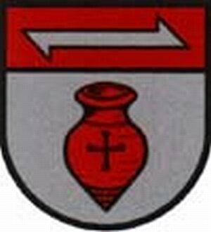
Wappen der Gemeinde Reinsfeld
Courthouses
Spielhaus
 60 m
Market Towns
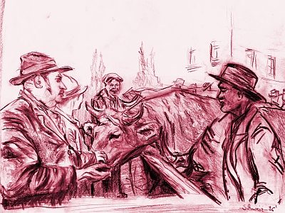
Marktort Reinsfeld
 90 m
Parish and Monastery Gardens
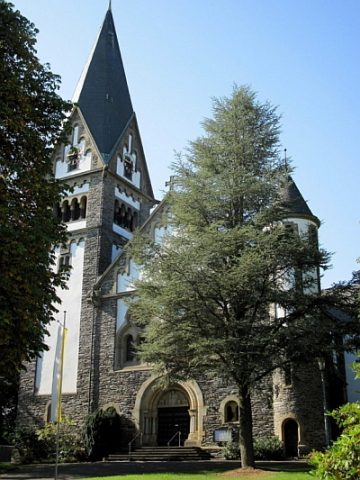
Sankt Remigius - Parkanlage
 110 m
War Memorials
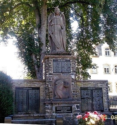
Kriegerdenkmal
Wayside Shrines and Stations of the Cross
Wegekreuz am Herrensteg
Farmhouses and Farm Buildings
Quereinhaus
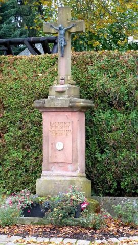 150 m
Wayside Shrines and Stations of the Cross