Wayside Shrines and Stations of the Cross · Historicism / Art Nouveau
Kreuz
- Listed monument


© GeoBasis-DE / LVermGeoRP, dl-de/by-2-0
There is no picture of this object yet. Do you have a photo that you would like to make available to the Kulturdatenbank? Submit a picture
Description
This description is only available in German.
Translate with Google opens this page in Google Translate (external service)
Auf neugotischem Inschriftsockel von um 1860 am nördlichen Ortsrand. [1]
Classification
- Subject area
- Architectural and Art Monuments
- Category
- Religious Buildings
- Object type
- Wayside Shrines and Stations of the Cross
- Date
- Um 1860
Location
- District
- Trier-Saarburg
- Collective municipality
- Saarburg-Kell
- Municipality
- Merzkirchen
- Locality / location
- Rommelfangen
- Field name
- Fuhrwies
- Coordinates
- WGS 84: 49.583942, 6.452019 (Position: presumed) WGS 84: 49° 35′ 02.2″ N, 6° 27′ 07.3″ E UTM 32 (ETRS89): E 315832 · N 5495492
Sources
Data sources
- [1] Denkmaltopographie Bundesrepublik Deutschland, Kulturdenkmäler in Rheinland-Pfalz, Kreis Trier-Saarburg, 12.1 Wernersche Verlagsgesellschaft 1994
On the internet
Last edited: 3 Feb 2004 Object ID: 8050
https://kulturdb.de/en/objekt/8050-merzkirchen-kreuz
Nearby
The nearest objects
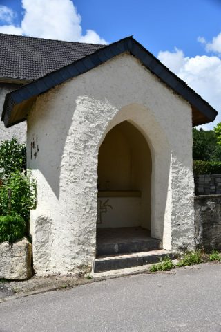 140 m
Chapels
Wegekapelle
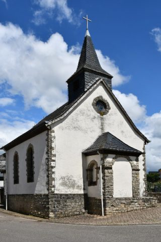 160 m
Catholic Churches
Sankt Isidor
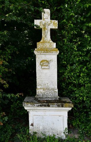 260 m
Altars
Altarkreuz
Field Names
Dörrwies
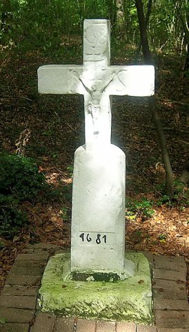 450 m
Wayside Shrines and Stations of the Cross
Wegekreuz
Field Names
Brücker Grund
Field Names
Im Karler Gründchen
Field Names