Fortresses and Bunkers · 20th Century
Westwall - Panzerabwehrlinie
- Listed monument


© GeoBasis-DE / LVermGeoRP, dl-de/by-2-0
There is no picture of this object yet. Do you have a photo that you would like to make available to the Kulturdatenbank? Submit a picture
Description
This description is only available in German.
Translate with Google opens this page in Google Translate (external service)
Ein mehrere Kilometer langer Abschnitt der aus Betonhöckern gebildeten Panzerabwehrlinie berührt auf einer Länge von rund 200 Metern die Rother Gemarkung am nordöstlichen Rand. [1]
Classification
- Subject area
- Architectural and Art Monuments
- Object type
- Fortresses and Bunkers
- Date
- 1936-40
- Period
- 20th Century
- Creator, builder, architect, artist
- Organisation Todt
Location
- District
- Eifelkreis Bitburg-Prüm
- Collective municipality
- Prüm
- Municipality
- Roth bei Prüm
- Locality / location
- Roth
- Field name
- Im Landgraben
- Coordinates
- WGS 84: 50.321764, 6.425218 (Position: exact) WGS 84: 50° 19′ 18.4″ N, 6° 25′ 30.8″ E UTM 32 (ETRS89): E 316719 · N 5577577
Sources
Data sources
- [1] Denkmaltopographie Bundesrepublik Deutschland, Kulturdenkmäler in Rheinland-Pfalz, Kreis Bitburg-Prüm, 9.3 Wernersche Verlagsgesellschaft ISBN 3-88462-170-X
On the internet
Last edited: 9 Feb 2004 Object ID: 8103
https://kulturdb.de/en/objekt/8103-roth-bei-pruem-westwall-panzerabwehrlinie
Nearby
The nearest objects
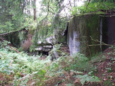 110 m
Fortresses and Bunkers
Westwall - Bunker
Fortresses and Bunkers
Westwall - Schartenstand
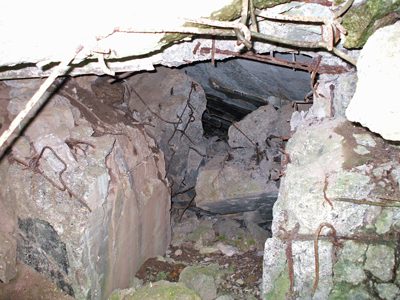 160 m
Fortresses and Bunkers
Westwall - Bunker
Fortresses and Bunkers
Westwall - Schartenstand
Fortresses and Bunkers
Westwall - Schartenstand
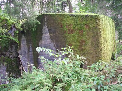 240 m
Fortresses and Bunkers
Westwall - Bunker
Fortresses and Bunkers
Westwall - Bunkertyp nicht eindeutig erkennbar
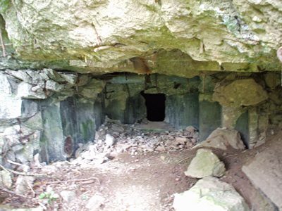 270 m
Fortresses and Bunkers