Place Names / Local History · Undated
Ortsname


© GeoBasis-DE / LVermGeoRP, dl-de/by-2-0
There is no picture of this object yet. Do you have a photo that you would like to make available to the Kulturdatenbank? Submit a picture
Description
This description is only available in German.
Translate with Google opens this page in Google Translate (external service)
Der Ortsname Plein stammt vom plana (terra) = ebenes Gelände. Am Rande dieser Hochfläche wurde im Mittelalter der sogenannte Heckenwein angebaut.
Classification
- Subject area
- History
- Category
- Place Names / Local History
- Date
- Undatiert
- Period
- Undated
Location
- District
- Bernkastel-Wittlich
- Collective municipality
- Wittlich-Land
- Municipality
- Plein
- Field name
- Ortslage
- Coordinates
- WGS 84: 50.028991, 6.875228 (Position: within the village) WGS 84: 50° 01′ 44.4″ N, 6° 52′ 30.8″ E UTM 32 (ETRS89): E 347821 · N 5544017
Sources
Data sources
- Kompass Wanderführer Vulkaneifel Südeifel. Deutscher Wanderverlag Dr. Mair & Schnabel & Co. Auflage 2002. ISBN 3-8134-0115-4
On the internet
Last edited: 11 May 2004 Object ID: 8390
https://kulturdb.de/en/objekt/8390-plein-ortsname
Nearby
The nearest objects
 less than 10 m
Coats of Arms
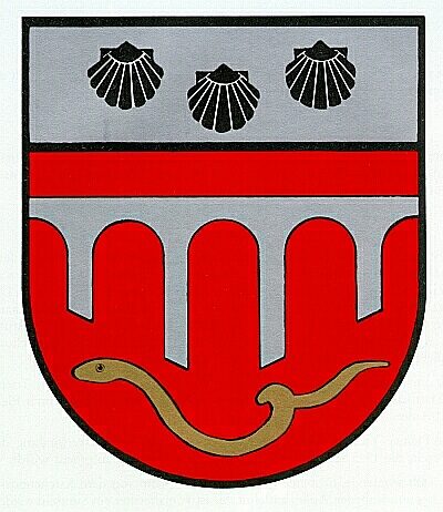
Wappen der Gemeinde Plein
Wayside Shrines and Stations of the Cross
Relief der Apostel Petrus und Matthias
Field Names
Blümchen
Farmhouses and Farm Buildings
Wohnhaus
Field Names
Kreuzfelder
Field Names
Hostertgarten
Field Names
Terrespaisch
Field Names