Burial Mounds · Early Middle Ages / Romanesque
Fränkisches Gräberfeld
- Listed monument


© GeoBasis-DE / LVermGeoRP, dl-de/by-2-0
There is no picture of this object yet. Do you have a photo that you would like to make available to the Kulturdatenbank? Submit a picture
Classification
- Subject area
- Archaeological Monuments
- Category
- Burials
- Object type
- Burial Mounds
- Date
- Circa 500 nach Chr. bis circa 1220
Location
- District
- Eifelkreis Bitburg-Prüm
- Collective municipality
- Bitburger Land
- Municipality
- Rittersdorf
- Field name
- Geisenheck
- Coordinates
- WGS 84: 49.999310, 6.493663 (Position: presumed) WGS 84: 49° 59′ 57.5″ N, 6° 29′ 37.2″ E UTM 32 (ETRS89): E 320385 · N 5541564
Sources
Data sources
- Führer zu den vor- und frühgeschichtlichen Denkmälern. Band 33. Südwestliche Eifel. Hrsg. Römisch-Germanisches Zentralmuseum Mainz. Verlag Philipp von Zabern, Mainz. 1977. ISBN 3-8053-0302-5
On the internet
Last edited: 7 Oct 2003 Object ID: 8436
https://kulturdb.de/en/objekt/8436-rittersdorf-fraenkisches-graeberfeld
Nearby
The nearest objects
No picture
80 m
Water Supply
Wasserbehälter
No picture
170 m
Schools
Alte Schule
No picture
170 m
Farmhouses and Farm Buildings
Flurküchenhaus
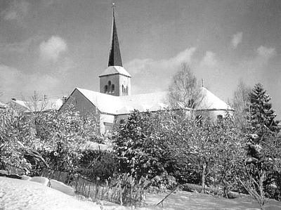 190 m
Catholic Churches
Sankt Martin
No picture
230 m
Town Houses and Commercial Buildings
Wohnhaus
No picture
250 m
Burial Mounds
Fränkisches Gräberfeld
No picture
260 m
Town Houses and Commercial Buildings
Portal
No picture
260 m
Town Houses and Commercial Buildings