Catholic Churches · 20th Century
Sankt Valerius
- Listed monument


Description
This description is only available in German.
Translate with Google opens this page in Google Translate (external service)
Langgestreckter Bau auf ellipsenförmigem Grundriss, entsprechend dem abfallenden Gelände von einer Unterkirche unterfangen. [1]
Classification
- Subject area
- Architectural and Art Monuments
- Category
- Religious Buildings
- Object type
- Catholic Churches
- Date
- 1952–56
- Period
- 20th Century
- Creator, builder, architect, artist
- Leitl, Alfons (Architekt)
Location
- District
- City of Trier
- Collective municipality
- Verbandsfreie Gemeinde Trier
- Town
- Trier
- Locality / location
- Feyen/Weismark
- Street
- Bornewasserstraße 50
- Field name
- Ortslage
- Coordinates
- WGS 84: 49.728680, 6.635615 (Position: exact) WGS 84: 49° 43′ 43.2″ N, 6° 38′ 08.2″ E UTM 32 (ETRS89): E 329608 · N 5511148
Sources
Data sources
- [1] Denkmalliste der Generaldirektion Kulturelles Erbe, Rheinland-Pfalz; 2010.
On the internet
de.wikipedia.org/wiki/Trier-Feyen/Weismark
Picture credits
- Picture 1: © Sebastian Schritt, Trier, 2010. http://www.flickr.com/photos/trier51/
- Picture 2: © Sebastian Schritt, Trier, 2010. http://www.flickr.com/photos/trier51/
- Picture 3: © Sebastian Schritt, Trier, 2010. http://www.flickr.com/photos/trier51/
- Picture 4: © Sebastian Schritt, Trier, 2010. http://www.flickr.com/photos/trier51/
- Picture 5: © Helge Rieder, Konz, 2004
- Picture 6: © Helge Rieder, Konz, 2017.
Last edited: 28 Mar 2026 Object ID: 8444
https://kulturdb.de/en/objekt/8444-trier-sankt-valerius
Nearby
The nearest objects
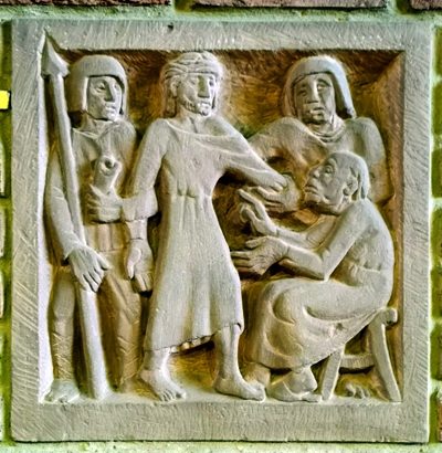 10 m
Wayside Shrines and Stations of the Cross
Sankt Valerius - Innen - Kreuzwegstationen
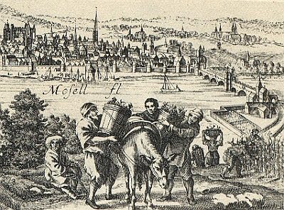 80 m
Vineyard Sites
Gleden
Street Names
Im Griffenborn
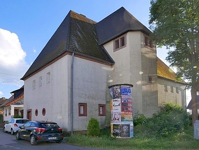 170 m
Fortresses and Bunkers
Hochbunker
 210 m
Street Names
Clara-Viebig-Straße
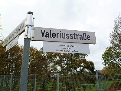 260 m
Street Names
Valeriusstraße
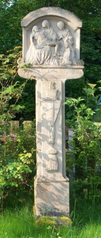 280 m
Wayside Shrines and Stations of the Cross
Bildstock
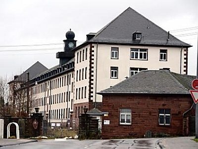 360 m
Barracks