Farmhouses and Farm Buildings · Neoclassicism
Streckhof
- Listed monument


© GeoBasis-DE / LVermGeoRP, dl-de/by-2-0
There is no picture of this object yet. Do you have a photo that you would like to make available to the Kulturdatenbank? Submit a picture
Description
This description is only available in German.
Translate with Google opens this page in Google Translate (external service)
Der bis hart an die Straße vorspringende Streckhof ist über der Haustür 1792 datiert. Der jüngere Stall, der die Flucht des Hauses fortsetzt, ist ein wenig höher und tiefer als dieses. Die ihm angebaute Scheune springt an der Vorderseite leicht zurück.
Classification
- Subject area
- Architectural and Art Monuments
- Category
- Residential and Farm Buildings
- Object type
- Farmhouses and Farm Buildings
- Date
- 1792
- Period
- Neoclassicism
Location
- District
- Eifelkreis Bitburg-Prüm
- Collective municipality
- Bitburger Land
- Municipality
- Röhl
- Street
- Hauptstraße 19
- Field name
- Ortslage
- Coordinates
- WGS 84: 49.936661, 6.583063 (Position: exact) WGS 84: 49° 56′ 12.0″ N, 6° 34′ 59.0″ E UTM 32 (ETRS89): E 326567 · N 5534389
Sources
Data sources
- Denkmaltopographie Bundesrepublik Deutschland, Kulturdenkmäler in Rheinland-Pfalz, Kreis Bitburg-Prüm, 9.2 Wernersche Verlagsgesellschaft 1994. ISBN 3-88462-132-7
On the internet
Last edited: 14 Jun 2004 Object ID: 8449
https://kulturdb.de/en/objekt/8449-roehl-streckhof
Nearby
The nearest objects
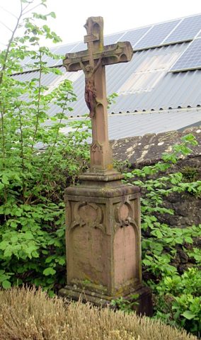 70 m
Wayside Shrines and Stations of the Cross
Wegekreuz bei Kirche
Roman Tombs
Fragment eines römischen Grabmals (1)
Catholic Churches
Sankt Martin (2)
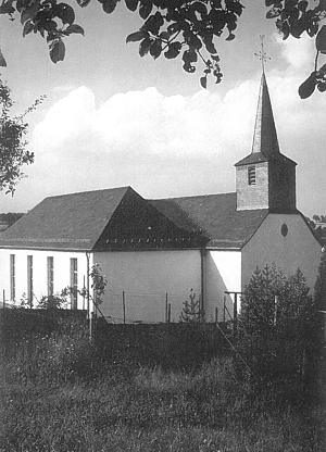 80 m
Catholic Churches
Sankt Martin (1)
Roman Tombs
Fragment eines römischen Grabmals (2)
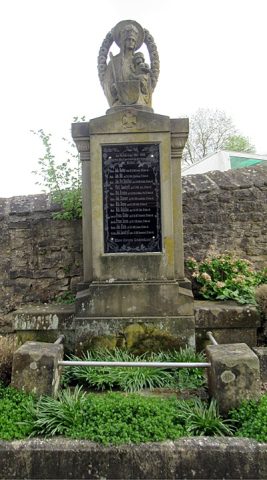 100 m
War Memorials
Kriegerdenkmal
Farmhouses and Farm Buildings
Großes bäuerliches Anwesen
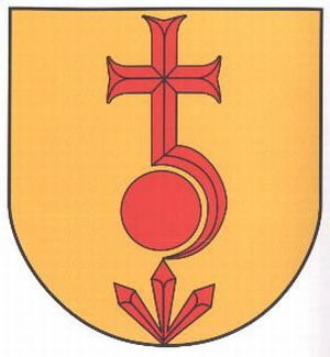 140 m
Coats of Arms