Farmhouses and Farm Buildings · Baroque / Rococo
Forstgut Itzfelderhof - Geschichte
- Listed monument


© GeoBasis-DE / LVermGeoRP, dl-de/by-2-0
There is no picture of this object yet. Do you have a photo that you would like to make available to the Kulturdatenbank? Submit a picture
Description
This description is only available in German.
Translate with Google opens this page in Google Translate (external service)
Südöstlich von Burscheid, jenseits des Burscheider Baches, liegt mitten im Wald der Itzfelder Hof. Die Lage des heute als Forstgut dienenden Gehöftes wird beim Blick auf die Tranchot-Karte (1818) verständlich, die die weitere Umgebung mit Ausnahme der eigentlichen Talhänge noch ganz waldfrei darstellt. Wahrscheinlich handelt es sich dabei um extensiv bewirtschaftetes Schiffelland, das aber als Existenzgrundlage eines einzelnen Hofes ausreichte.
Von den Gebäuden blieb nur das 1740 erbaute Wohnhaus [...] erhalten. [1]
Classification
- Subject area
- Architectural and Art Monuments
- Category
- Residential and Farm Buildings
- Object type
- Farmhouses and Farm Buildings
- Date
- 1740
- Period
- Baroque / Rococo
Location
- District
- Eifelkreis Bitburg-Prüm
- Collective municipality
- Südeifel
- Municipality
- Berkoth
- Locality / location
- Itzfelderhof
- Street
- Itzfelderhof 4
- Field name
- Im hintersten Garten
- Coordinates
- WGS 84: 50.033928, 6.360471 (Position: exact) WGS 84: 50° 02′ 02.1″ N, 6° 21′ 37.7″ E UTM 32 (ETRS89): E 310977 · N 5545741
Sources
Data sources
- [1] Denkmaltopographie Bundesrepublik Deutschland, Kulturdenkmäler in Rheinland-Pfalz, Kreis Bitburg-Prüm, 9.3 Wernersche Verlagsgesellschaft ISBN 3-88462-170-X
On the internet
Last edited: 7 Apr 2010 Object ID: 8492
https://kulturdb.de/en/objekt/8492-berkoth-forstgut-itzfelderhof-geschichte
Nearby
The nearest objects
Farmhouses and Farm Buildings
Forstgut Itzfelderhof - Eingang Wohnhaus
Wayside Shrines and Stations of the Cross
Schaftkreuz in altem Fundamentstein
 420 m
Charcoal Kilns
Ehemaliger Meilerplatz
Field Names
Borndell
 440 m
Wayside Shrines and Stations of the Cross
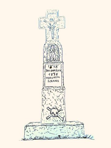
Unfallkreuz von 1838
Field Names
Im langen Grund
520 m
Charcoal Kilns
Ehemaliger Meilerplatz
Field Names