Historic Townscapes · Celtic / Roman Period
Historisches Ortsbild
- Protection of cultural property (Hague Convention)

Description
This description is only available in German.
Translate with Google opens this page in Google Translate (external service)
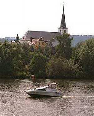
Das historische Ortsbild von Longuich steht seit 2004 unter dem Schutz der Haager Konvention.
Classification
- Subject area
- Architectural and Art Monuments
- Category
- Historic Townscapes
- Date
- Circa 500 vor Chr. bis circa 500 nach Chr.
- Period
- Celtic / Roman Period
Location
- District
- Trier-Saarburg
- Collective municipality
- Schweich an der römischen Weinstraße
- Municipality
- Longuich
- Field name
- Ortslage
- Coordinates
- WGS 84: 49.803197, 6.766198 (Position: within the village) WGS 84: 49° 48′ 11.5″ N, 6° 45′ 58.3″ E UTM 32 (ETRS89): E 339264 · N 5519144
Sources
Data sources
- Intrinet
On the internet
Picture credits
- Picture 1: http://www.schweich.de/tourismus/index.htm
Last edited: 22 Jun 2004 Object ID: 8497
https://kulturdb.de/en/objekt/8497-longuich-historisches-ortsbild
Nearby
The nearest objects
 less than 10 m
Settlements
Römische Siedlung
 less than 10 m
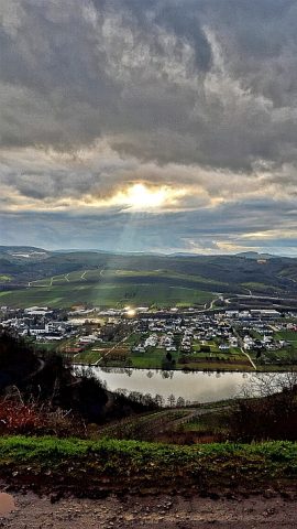
Place Names / Local History
Ortsname / Ortsgeschichte
 140 m
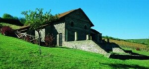
Settlements
Römische Villa Urbana
No picture
290 m
Field Names
In dem Steinrausch
 460 m
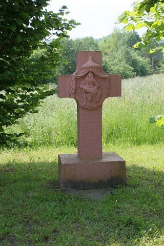
Wayside Shrines and Stations of the Cross
Flurkreuz südlich der Ortslage
No picture
490 m
Mills
Thalmühle (Ölmühle) am Longuicher Bach
 610 m
Lime Trees
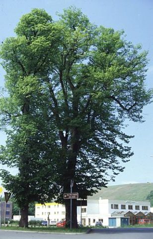
Linde am Ortseingang
 620 m
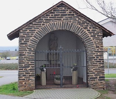
Chapels