Burial Mounds · Celtic / Roman Period
Südliche Grabhügelgruppe
- Listed monument


© GeoBasis-DE / LVermGeoRP, dl-de/by-2-0
There is no picture of this object yet. Do you have a photo that you would like to make available to the Kulturdatenbank? Submit a picture
Classification
- Subject area
- Archaeological Monuments
- Category
- Burials
- Object type
- Burial Mounds
- Date
- Circa 500 vor Chr. bis circa 500 nach Chr.
- Period
- Celtic / Roman Period
Location
- District
- Bernkastel-Wittlich
- Collective municipality
- Traben-Trarbach
- Municipality
- Enkirch
- Field name
- An der Raversbeurer Straße
- Coordinates
- WGS 84: 49.961236, 7.191162 (Position: exact) WGS 84: 49° 57′ 40.4″ N, 7° 11′ 28.2″ E UTM 32 (ETRS89): E 370265 · N 5535889
Sources
Data sources
- Alfred Haffner: "Eine latenezeitliche-frührömische Grabhügelgruppe mit Wagenbestattung von Enkirch, Kreis Bernkastel-Wittlich.
On the internet
Last edited: 22 Jul 2004 Object ID: 8569
https://kulturdb.de/en/objekt/8569-enkirch-suedliche-grabhuegelgruppe
Nearby
The nearest objects
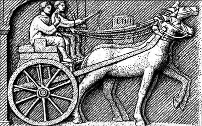 170 m
Road Transport
Römerstraße am Spaner Berg (4)
530 m
Road Transport
Römerstraße am Spaner Berg (3)
630 m
Road Transport
Römerstraße am Spaner Berg (5)
 830 m
Natural Landscapes
Eichen und Buchen Distrikt Diebesseifen
No picture
890 m
Field Names
Schacherwald
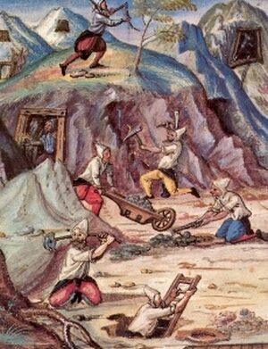 920 m
Extraction and Processing of Raw Materials
Ehemaliger Eisenerz-Abbau
960 m
Road Transport
Römerstraße am Spaner Berg (2)
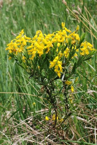 1.1 km
Field Names