Deserted Settlements · Gothic
Wüstung Musil

Description
This description is only available in German.
Translate with Google opens this page in Google Translate (external service)
Innerhalb des römischen Stadtbezirks von Trier gab es an dessen Rand vier fränkische Dorfsiedlungen: Musil, Castil, Bergentheim und Beheim. [1]
Classification
- Subject area
- Archaeological Monuments
- Category
- Settlements
- Object type
- Deserted Settlements
- Date
- Circa 1100 bis circa 1500
- Period
- Gothic
Location
- District
- City of Trier
- Collective municipality
- Verbandsfreie Gemeinde Trier
- Town
- Trier
- Locality / location
- Mitte-Gartenfeld
- Street
- Gartenfeldstraße
- Field name
- Ortslage
- Coordinates
- WGS 84: 49.753315, 6.648468 (Position: exact) WGS 84: 49° 45′ 11.9″ N, 6° 38′ 54.5″ E UTM 32 (ETRS89): E 330620 · N 5513857
Sources
Data sources
- [1] Rettet das archäologische Erbe in Trier. Schriftenreihe des Rheinischen Landesmuseums Trier. Nr. 31. ISBN 3-923319-62-2 Online-Shop: www.landesmuseum-trier-shop.de
On the internet
de.wikipedia.org/wiki/Trier-Mitte/Gartenfeld
Picture credits
- Picture 1: Google Earth
Last edited: 26 Apr 2006 Object ID: 89
https://kulturdb.de/en/objekt/89-trier-wuestung-musil
Nearby
The nearest objects
Town Houses and Commercial Buildings
Ehemaliges Gartenhaus Gartenfeldstraße
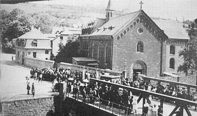 50 m
Chapels
Ehemalige Klosterkapelle der Benediktinerinnen
Street Names
Gartenfeldstraße
80 m
Monastic Complexes
Ehemaliges Kloster der Benediktinerinnen
 110 m
Coats of Arms
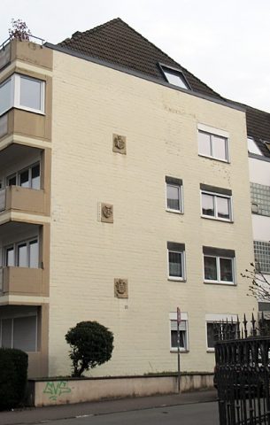
Siegel / Wappen an Hauswand
 110 m
Town Houses and Commercial Buildings
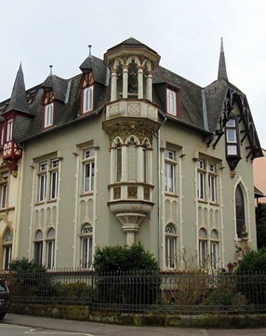
Halbvilla
 130 m
Town Houses and Commercial Buildings
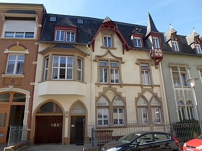
Reihenvilla
 130 m
Burial Mounds