Mills · Undated
Stiftungsmühle Niederweis an der Nims
- Listed monument


© GeoBasis-DE / LVermGeoRP, dl-de/by-2-0
There is no picture of this object yet. Do you have a photo that you would like to make available to the Kulturdatenbank? Submit a picture
Description
This description is only available in German.
Translate with Google opens this page in Google Translate (external service)
Das Betriebsgebäude ist nur noch eine Ruine, die technische Einrichtung ist zerfallen.
Classification
- Subject area
- Architectural and Art Monuments
- Object type
- Mills
- Date
- Undatiert
- Period
- Undated
Location
- District
- Eifelkreis Bitburg-Prüm
- Collective municipality
- Südeifel
- Municipality
- Niederweis
- Field name
- Im Kiemen
- Coordinates
- WGS 84: 49.872057, 6.463192 (Position: exact) WGS 84: 49° 52′ 19.4″ N, 6° 27′ 47.5″ E UTM 32 (ETRS89): E 317722 · N 5527492
Sources
Data sources
- GeoPortal des Landes Rheinland-Pfalz. http://www.geoportal.rlp.de/
On the internet
Last edited: 4 Aug 2004 Object ID: 8903
https://kulturdb.de/en/objekt/8903-niederweis-stiftungsmuehle-niederweis-an-der-nims
Nearby
The nearest objects
Field Names
Burgspesch
Settlements
Römische Siedlungsstelle
 170 m
Catholic Churches
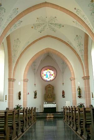
Sankt Johannes Evangelist - Langhaus
 170 m
Catholic Churches
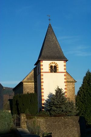
Sankt Johannes Evangelist - Chorturm
 170 m
Organs
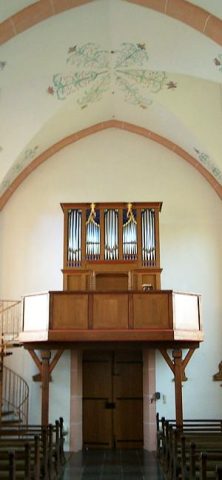
Sankt Johannes Evangelist - Orgel
 170 m
Nativity Scenes
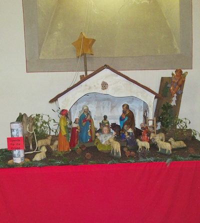
Sankt Johannes Evangelist - Weihnachtskrippe
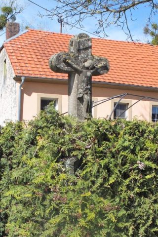 190 m
Wayside Shrines and Stations of the Cross
Wegekreuz
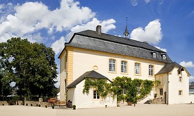 240 m
Manorial Residences and Estate Buildings