Roman Long Wall · Celtic / Roman Period
Rekonstruktion der Langmauer
Am Ortsausgang Richtung Trier

Description
This description is only available in German.
Translate with Google opens this page in Google Translate (external service)
Spätrömisches Bauwerk, nach Befundgrabung rekonstruiert, spätrömische Originalreste des 4. Jahrhunderts mit aufgehendem Mauerwerk bis in circa 1 Meter Höhe erhalten.
Classification
- Subject area
- Archaeological Monuments
- Object type
- Roman Long Wall
- Date
- 2. Hälfte 4. Jahrhundert nach Chr.
- Period
- Celtic / Roman Period
Location
- District
- Eifelkreis Bitburg-Prüm
- Collective municipality
- Speicher
- Municipality
- Herforst
- Street
- Römerstraße
- Field name
- Rosenwies
- Coordinates
- WGS 84: 49.941511, 6.696008 (Position: exact) WGS 84: 49° 56′ 29.4″ N, 6° 41′ 45.6″ E UTM 32 (ETRS89): E 334687 · N 5534672
Sources
Data sources
- Homepage Tag des offenen Denkmals 12.09.2004 http://tag-des-offenen-denkmals.de/programm
On the internet
Picture credits
- Picture 1: Karte nach STEINHAUSEN, in: WREDE, Henning: Die spätantike Hermengalerie von Welschbillig
Last edited: 14 Sep 2015 Object ID: 8997
https://kulturdb.de/en/objekt/8997-herforst-rekonstruktion-der-langmauer
Nearby
The nearest objects
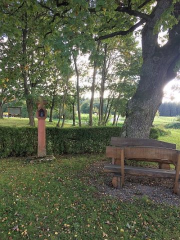 20 m
Oaks
Eiche am Wegekreuz
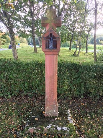 30 m
Wayside Shrines and Stations of the Cross
Wegekreuz südlich des Ortes
Extraction and Processing of Raw Materials
Ehemaliger Steinbruch
Field Names
Ober der Wolfsheck
Field Names
Bei Wolfsheck
Field Names
Wolfshecken Seifen
Extraction and Processing of Raw Materials
Mittelalterlicher Töpferofen
Extraction and Processing of Raw Materials