Entrenchments · Renaissance
Ehemalige Befestigungen auf dem Reiler-Hals


© GeoBasis-DE / LVermGeoRP, dl-de/by-2-0
There is no picture of this object yet. Do you have a photo that you would like to make available to the Kulturdatenbank? Submit a picture
Description
This description is only available in German.
Translate with Google opens this page in Google Translate (external service)
Während des Dreißigjährigen Krieges war der Reiler-Hals stark befestigt. 1650, als der Friede schon geschlossen war, rückte ein französisches Korps unter General von Rosen in das Amt Zell ein und erstürmte den Reiler Hals. Bei diesem Kampf wurden 50 Mann getötet. [1]
Classification
- Subject area
- Architectural and Art Monuments
- Object type
- Entrenchments
- Date
- 1650
- Period
- Renaissance
Location
- District
- Bernkastel-Wittlich
- Collective municipality
- Traben-Trarbach
- Municipality
- Reil
- Field name
- Bei Kirschenkreuz
- Coordinates
- WGS 84: 50.033397, 7.108530 (Position: presumed) WGS 84: 50° 02′ 00.2″ N, 7° 06′ 30.7″ E UTM 32 (ETRS89): E 364542 · N 5544058
Sources
Data sources
- [1] Festdruck Feuerwehr Reil 1954
On the internet
Last edited: 3 Jun 2010 Object ID: 9001
https://kulturdb.de/en/objekt/9001-reil-ehemalige-befestigungen-auf-dem-reiler-hals
Nearby
The nearest objects
Viewpoints
Aussichtspunkt Reiler-Hals
 40 m
Chapels
Wegekapelle am Reiler Hals
Battlefields
Schlacht auf dem Reiler-Hals
Wayside Shrines and Stations of the Cross
Wegekreuz
Viewpoints
Aussichtspunkt
Wayside Shrines and Stations of the Cross
Wegekreuz
 240 m
Wayside Shrines and Stations of the Cross
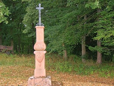
Schaftkreuz in barocken Formen
Wayside Shrines and Stations of the Cross