Entrenchments · Neoclassicism
Longkamper Schanze


© GeoBasis-DE / LVermGeoRP, dl-de/by-2-0
There is no picture of this object yet. Do you have a photo that you would like to make available to the Kulturdatenbank? Submit a picture
Description
This description is only available in German.
Translate with Google opens this page in Google Translate (external service)
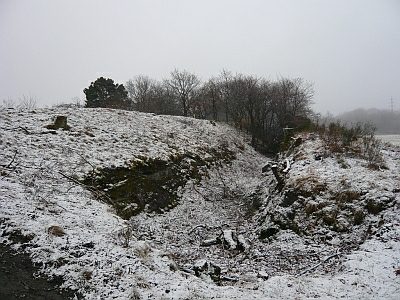
Circa 170 Meter nordöstlich der Höhe 419,2 Meter über Normal-Null. Hier stoßen die Gemeindegrenzen von Bernkastel-Kues, Graach an der Mosel und Longkamp aneinander.
Classification
- Subject area
- Architectural and Art Monuments
- Object type
- Entrenchments
- Date
- Circa 1780 bis 1850
- Period
- Neoclassicism
Location
- District
- Bernkastel-Wittlich
- Collective municipality
- Bernkastel-Kues
- Municipality
- Graach an der Mosel
- Locality / location
- Graacher Schäferei
- Field name
- Fousetterflur
- Coordinates
- WGS 84: 49.913799, 7.105979 (Position: exact) WGS 84: 49° 54′ 49.7″ N, 7° 06′ 21.5″ E UTM 32 (ETRS89): E 364023 · N 5530766
Sources
Data sources
- Hubertus Schulze-Neuhoff, Diplom-Meteorologe, Traben-Trarbach (Starkenburg) nach: Plan de la Position-Retranchee du Mont National. Urplan von 1795.
On the internet
Last edited: 3 Feb 2005 Object ID: 9082
https://kulturdb.de/en/objekt/9082-graach-an-der-mosel-longkamper-schanze
Nearby
The nearest objects
Wayside Shrines and Stations of the Cross
Wegekreuz
Entrenchments
Ehemalige Schanze
 290 m
Entrenchments
Ehemalige Schanze
Field Names
Hinter Rothenbusch unterm Weg
Field Names
Hinter Rothenbusch
Field Names
In der Breitwies
Entrenchments
Ehemalige Schanze
Field Names