Settlements · Celtic / Roman Period
Römische Siedlungsreste (1)
Distrikt Burgheck

Description
This description is only available in German.
Translate with Google opens this page in Google Translate (external service)
Etwa 900 Meter nordwestlich des Ortes, im Distrikt Burgheck, wurden Siedlungsreste aus römischer Zeit festgestellt. Die dabei gefundene Keramik wird dem 4. Jahrhundert nach Christus zugeordnet. [1]
Classification
- Subject area
- Archaeological Monuments
- Category
- Settlements
- Object type
- Settlements
- Date
- 4. Jahrhundert nach Chr.
- Period
- Celtic / Roman Period
Location
- District
- Eifelkreis Bitburg-Prüm
- Collective municipality
- Bitburger Land
- Municipality
- Pickließem
- Field name
- Zwischen den Wegen
- Coordinates
- WGS 84: 49.992373, 6.638335 (Position: presumed) WGS 84: 49° 59′ 32.5″ N, 6° 38′ 18.0″ E UTM 32 (ETRS89): E 330728 · N 5540456
Sources
Data sources
- [1] Karl E. Becker: Das Kyllburger Land. Kyllburg 1977. Hrsg. Verbandsgemeinde Kyllburg.
On the internet
bitburgerland.de/og-pickliessem/ortsgemeinde-pickliessem
Picture credits
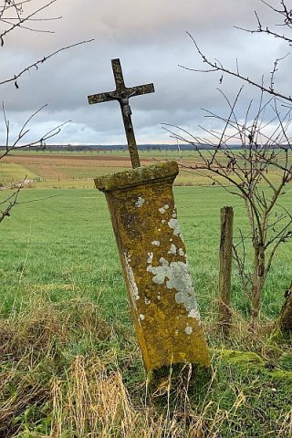
- Picture 1: © Lothar Monshausen, Fotostream http://www.flickr.com/photos/lomo56/tags/meteorite/
Last edited: 29 Dec 2004 Object ID: 9131
https://kulturdb.de/en/objekt/9131-pickliessem-roemische-siedlungsreste-1
Nearby
The nearest objects
Settlements
Römische Siedlungsreste (2)
Wayside Shrines and Stations of the Cross
Wegekreuz
Field Names
Im Hohrech
Field Names
In den Breitwiesen
 210 m
Wayside Shrines and Stations of the Cross
Schaftkreuz
Field Names
Auf dem Maar
Wayside Shrines and Stations of the Cross
Wegekreuz
 570 m
Settlements