Chapels · Historicism / Art Nouveau
Ehemalige Kapelle


© GeoBasis-DE / LVermGeoRP, dl-de/by-2-0
There is no picture of this object yet. Do you have a photo that you would like to make available to the Kulturdatenbank? Submit a picture
Description
This description is only available in German.
Translate with Google opens this page in Google Translate (external service)
Zwischen den Einmündungen von Gässigweg und Wiedmochstraße in die Hauptstraße.
Kleiner Bau aus unverputzten Rotsandsteinquadern [...]. Über dem Eingang auf der Ostseite die aufgeputzte Jahreszahl 1901.
[...]
Bis in die Details (Türflügel, Eisenkreuz an der Giebelspitze) unverändert, aber im Verfall begriffen. [1]
In der Liste der Kulturdenkmäler in Preist, Stand: 24. März 2010, wird die Kapelle nicht mehr aufgeführt. [Anm. d. Red.]
Von Beschreibung her identisch mit Marienkapelle Preist, nordöstlich außerhalb der Ortslage gelegen. [2]
Classification
- Subject area
- Architectural and Art Monuments
- Category
- Religious Buildings
- Object type
- Chapels
- Date
- 1901
Location
- District
- Eifelkreis Bitburg-Prüm
- Collective municipality
- Speicher
- Municipality
- Preist
- Street
- Hauptstraße
- Field name
- Aufm Kropenlaygen
- Coordinates
- WGS 84: 49.905620, 6.633050 (Position: exact) WGS 84: 49° 54′ 20.2″ N, 6° 37′ 59.0″ E UTM 32 (ETRS89): E 330044 · N 5530823
Sources
Data sources
- [1] Denkmaltopographie Bundesrepublik Deutschland. Kulturdenkmäler in Rheinland-Pfalz. Band 9.1 Kreis Trier-Saarburg. Wernersche Verlagsgesellschaft mbH, Worms
- [2] Michael Grün, Trier, 2020.
On the internet
Last edited: 22 May 2020 Object ID: 9139
https://kulturdb.de/en/objekt/9139-preist-ehemalige-kapelle
Nearby
The nearest objects
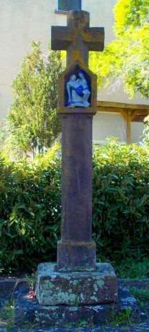 less than 10 m
Wayside Shrines and Stations of the Cross
Nischenkreuz
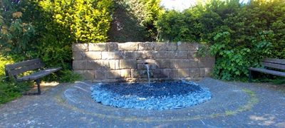 less than 10 m
Fountains and Wells
Brunnen Hauptstraße Preist
Farmhouses and Farm Buildings
Unterstallhaus
Farmhouses and Farm Buildings
Quereinhaus
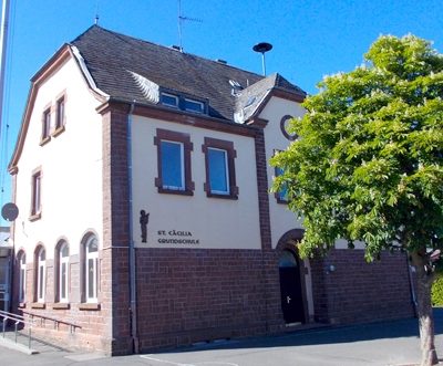 220 m
Schools
Schulhaus
Place Names / Local History
Ortsname
 220 m
Coats of Arms
Wappen der Gemeinde Preist
Farmhouses and Farm Buildings