Road Transport · Undated
Wallfahrtsweg nach Klausen
- Listed monument


© GeoBasis-DE / LVermGeoRP, dl-de/by-2-0
There is no picture of this object yet. Do you have a photo that you would like to make available to the Kulturdatenbank? Submit a picture
Description
This description is only available in German.
Translate with Google opens this page in Google Translate (external service)
Kurz vor Eintritt des Wallfahrtsweges von Wittlich nach Klausen in den Mundwald hat sich eine aussagekräftige Gruppe von Zeugnissen der Volksfrömmigkeit des 17. bis 20. Jahrhunderts erhalten, zwei Kapellen und zwei Wegekreuze; sie bilden eine Denkmalzone. [1]
Classification
- Subject area
- Architectural and Art Monuments
- Category
- Economy, Trade and Transport
- Object type
- Road Transport
- Date
- Undatiert
- Period
- Undated
Location
- District
- Bernkastel-Wittlich
- Collective municipality
- Verbandsfreie Gemeinde Wittlich
- Town
- Wittlich
- Field name
- In der Trierdell
- Coordinates
- WGS 84: 49.970803, 6.883438 (Position: exact) WGS 84: 49° 58′ 14.9″ N, 6° 53′ 00.4″ E UTM 32 (ETRS89): E 348226 · N 5537531
Sources
Data sources
- [1] Denkmaltopographie Bundesrepublik Deutschland, Kulturdenkmäler in Rheinland-Pfalz, Kreis Bernkastel-Wittlich 4.1 Stadt Wittlich. Schwann ISBN 3-590-31034-0
On the internet
Last edited: 6 Jan 2005 Object ID: 9168
https://kulturdb.de/en/objekt/9168-wittlich-wallfahrtsweg-nach-klausen
Nearby
The nearest objects
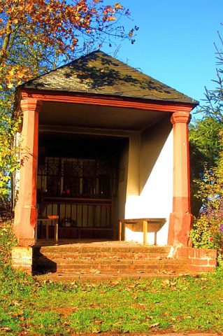 150 m
Chapels
Kapelle zur Schwarzen Muttergottes
Wayside Shrines and Stations of the Cross
Schaftkreuz
Field Names
In der Trierdell
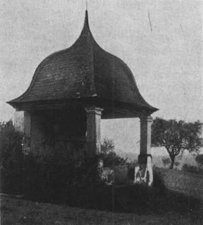 240 m
Chapels
Heiligkreuzkapelle
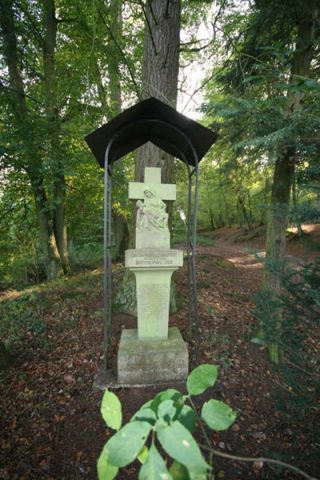 260 m
Wayside Shrines and Stations of the Cross
Bildstock an der Heiligkreuzkapelle
Field Names
Rotheberg
Find Sites
Römische Dachziegelfragmente
Field Names